Orofino

Log in to your account

AroundUs is a community-driven map of interesting places, built by curious explorers like you. It grows with every review, story, and photo you share.
Connect to save your favorite spots, contribute locations, and create personalized routes.
Continue with Google
Continue with Apple
Continue with X
Continue with Facebook
Continue with email
By continuing, you accept our Terms and Conditions and our Privacy Policy
Create an account
Add to collection
Map
Suggest a change
Share

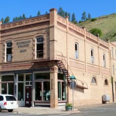
Orofino, County seat in Clearwater County, Idaho, United States.

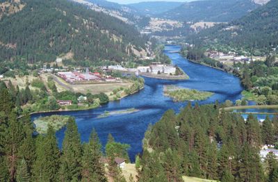
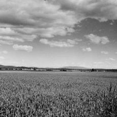
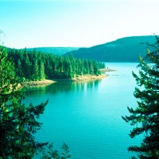
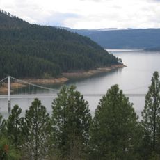
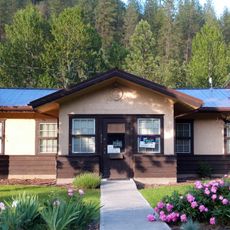
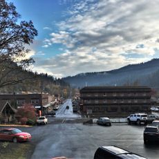
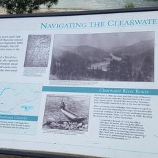
Orofino is a town in Clearwater County, Idaho, situated along a creek system and the Clearwater River's north bank. The settlement sits within the Nez Perce Indian Reservation boundaries and is framed by the region's forested, rolling terrain.

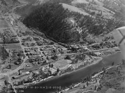
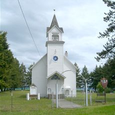
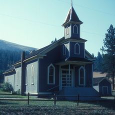
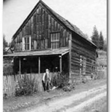
The settlement began as a gold mining camp called Oro Fino in 1861, before being formally established in 1895 after the Nez Perce Reservation opened to outside settlers. This development reflects the larger waves of settlement and resource extraction that shaped the region.

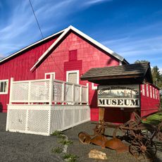
The town remains connected to its logging roots through community gatherings and celebrations that honor this chapter of local life. Residents and visitors gather for events that keep these traditions part of the social fabric.

US Highway 12 connects the town to larger regional cities and makes arrival by car straightforward. Visitors should note that access can depend on weather conditions and season, particularly during winter in this mountainous region.

The town recorded Idaho's highest temperature on record during summer 1934, a mark reflecting the region's extreme heat conditions. This weather event demonstrates how intense summer heat can become in this valley.

Location: Clearwater County

Inception: 1895

Elevation above the sea: 314 m

Website: http://orofino-id.com

GPS coordinates: 46.48556,-116.25889

Latest update: December 20, 2025 11:45

Photos
Around this place
Nez Perce National Historic Trail
United States of America

Nez Perce National Historic Trail

39 km
Weippe Prairie
United States of America

Weippe Prairie

28.3 km
Dworshak State Park
United States of America

Dworshak State Park

11.3 km
United States of America

Winchester Lake State Park

39.4 km
Dent Bridge
United States of America

Dent Bridge

14.4 km
Bethany Memorial Chapel
United States of America

Bethany Memorial Chapel

34.2 km
American Women's League Chapter House
United States of America

American Women's League Chapter House

12.5 km
First Presbyterian Church
United States of America

First Presbyterian Church

36.8 km
Pierce Courthouse
United States of America

Pierce Courthouse

35.4 km
Thomas Kirby House
United States of America

Thomas Kirby House

32.8 km
Orofino Historic District
United States of America

Orofino Historic District

1.2 km
Kendrick Fraternal Temple
United States of America

Kendrick Fraternal Temple

33.2 km
Brown's Creek CCC Camp Barracks
United States of America

Brown's Creek CCC Camp Barracks

27.6 km
James F. Bridwell House
United States of America

James F. Bridwell House

33.8 km
Sue McBeth Cabin
United States of America

Sue McBeth Cabin

36.8 km
Pink House Beach
United States of America

Pink House Beach

7.2 km
United States of America

Lapwai Lake

39.4 km
United States of America

Elk Creek Reservoir

32.7 km
United States of America

Orofino Creek Point

25.7 km
United States of America

Fir Bluff

30.4 km
United States of America

Amos Bench

25.5 km
United States of America

Mud Springs Reservoir

40.5 km
United States of America

Amos Bench

25.5 km
United States of America

Scenic viewpoint

28.7 km
United States of America

Scenic viewpoint

28.4 km
United States of America

Upper Elk Creek Falls

28.9 km
United States of America

Middle Elk Creek Falls

28.6 km
United States of America

Lower Elk Creek Falls

28.6 km
Show the full map
Reviews

Visited this place? Tap the stars to rate it and share your experience / photos with the community! Try now! You can cancel it anytime.

« Orofino - County seat in Clearwater County, Idaho, United States » is provided by Around Us (aroundus.com). Images and texts are derived from Wikimedia project under a Creative Commons license. You are allowed to copy, distribute, and modify copies of this page, under the conditions set by the license, as long as this note is clearly visible.

Discover hidden gems everywhere you go!

From secret cafés to breathtaking viewpoints, skip the crowded tourist spots and find places that match your style. Our app makes it easy with voice search, smart filtering, route optimization, and insider tips from travelers worldwide. Download now for the complete mobile experience.

Around Us App Screenshot

A unique approach to discovering new places

Le Figaro

All the places worth exploring

France Info

A tailor-made excursion in just a few clicks

20 Minutes