Enable Location

We need your location to show you interesting places around you

Discover nearby places

Find interesting locations and hidden gems around you

Precise directions

Get accurate directions and distances to places

Your location is never shared with other users. It's only used when you tap the location button.

Clearwater County

Log in to your account

Start exploring — it's free

Trusted by 63,386 travelers worldwide

Continue with Google
Continue with Apple
or

We will send you a code to connect

By continuing, you accept our Terms and Conditions and our Privacy Policy

Check your inbox

We've sent a pincode in your inbox. Please enter the code below.

Discussion Reviews 1 Photos
12.2k Popularity

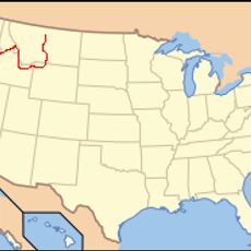
Clearwater County, Administrative division in northern Idaho, United States.

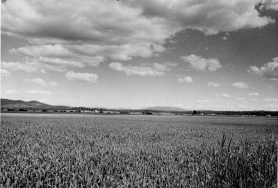
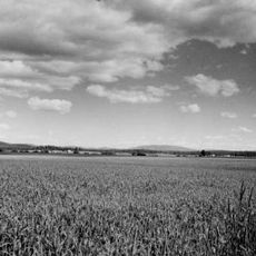
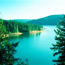
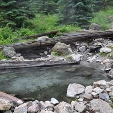
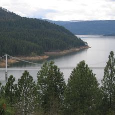
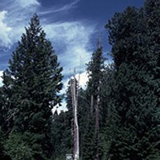
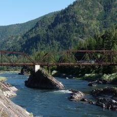
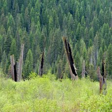
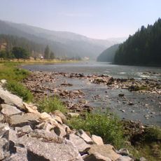
Clearwater County is an administrative division in northern Idaho characterized by mountainous terrain, dense forests, and several rivers that flow through the landscape. The Dworshak Reservoir forms a significant water body within the county, creating a mix of waterways and forested land.

The county was established in 1911 when it separated from Nez Perce County as an independent administrative unit. Its name comes from the Clearwater River, which flows through the region and remains central to the area's identity.

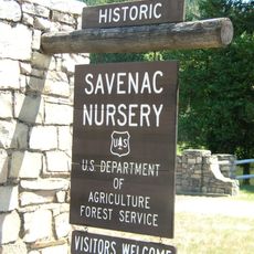
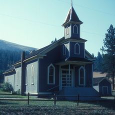
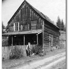
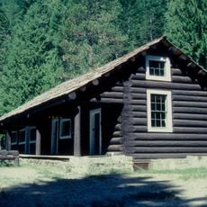
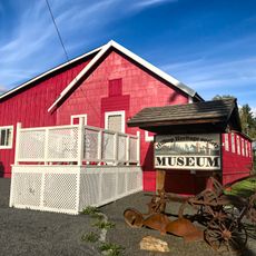
The area shows strong connections to the Nez Perce, whose history appears in archaeological sites throughout the county. Visitors can explore these traces and understand the importance of these communities to the region.

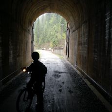
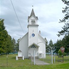
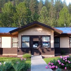
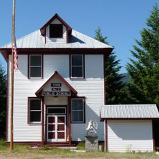
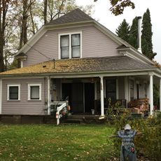
Visitors find multiple camping areas, hiking trails, and fishing spots distributed throughout the region. The county seat in Orofino serves as a central point for information and visitor services.

The Dworshak Reservoir stretches over approximately 54 miles (87 km) through the area with a forest-lined shoreline. This vast water body has shaped the landscape of the division and provides rare water-based experiences surrounded by mountains.

The community of curious travelers

AroundUs brings together thousands of curated places, local tips, and hidden gems, enriched daily by 60,000 contributors worldwide.

Start exploring
GPS coordinates
46.71082,-115.65825
Latest update
December 7, 2025 20:46
Around this place
Nez Perce National Historic Trail
United States of America

Nez Perce National Historic Trail

83.1 km
Weippe Prairie
United States of America

Weippe Prairie

43.7 km
Dworshak State Park
United States of America

Dworshak State Park

50.1 km
Stanley Hot Springs
United States of America

Stanley Hot Springs

53.5 km
Dent Bridge
United States of America

Dent Bridge

41.5 km
Chicago, Milwaukee, St. Paul and Pacific Railroad Company Historic District
United States of America

Chicago, Milwaukee, St. Paul and Pacific Railroad Company Historic District

72.6 km
Blue Fox Theatre
United States of America

Blue Fox Theatre

94.3 km
Hobo Cedar Grove Botanical Area
United States of America

Hobo Cedar Grove Botanical Area

55.3 km
Bethany Memorial Chapel
United States of America

Bethany Memorial Chapel

73.8 km
Savenac Nursery Historic District
United States of America

Savenac Nursery Historic District

77.7 km
Bovill Opera House
United States of America

Bovill Opera House

58.5 km
American Women's League Chapter House
United States of America

American Women's League Chapter House

64 km
Alberton School
United States of America

Alberton School

95.3 km
First Presbyterian Church
United States of America

First Presbyterian Church

62.4 km
Natural Pier Bridge
United States of America

Natural Pier Bridge

93.8 km
Pierce Courthouse
United States of America

Pierce Courthouse

26.7 km
Thomas Kirby House
United States of America

Thomas Kirby House

76.1 km
Lochsa Historical Ranger Station
United States of America

Lochsa Historical Ranger Station

48.5 km
Gardiner Peak Lookout
United States of America

Gardiner Peak Lookout

107.2 km
Orofino Historic District
United States of America

Orofino Historic District

52.4 km
Cedar Snags
United States of America

Cedar Snags

74.3 km
De Borgia Schoolhouse
United States of America

De Borgia Schoolhouse

77.9 km
James V. and Sophia Baker House
United States of America

James V. and Sophia Baker House

91 km
Kendrick Fraternal Temple
United States of America

Kendrick Fraternal Temple

76.5 km
Brown's Creek CCC Camp Barracks
United States of America

Brown's Creek CCC Camp Barracks

42.9 km
James F. Bridwell House
United States of America

James F. Bridwell House

60.8 km
Sue McBeth Cabin
United States of America

Sue McBeth Cabin

62.3 km
Lolo Trail
United States of America

Lolo Trail

82.9 km
Show the full map
Reviews
Share your experience

No review yet

Discussions
Start a discussion...

No discussion yet

« Clearwater County - Administrative division in northern Idaho, United States » is provided by Around Us (aroundus.com). Images and texts are derived from Wikimedia project under a Creative Commons license. You are allowed to copy, distribute, and modify copies of this page, under the conditions set by the license, as long as this note is clearly visible.

Discover hidden gems everywhere you go!

From secret cafés to breathtaking viewpoints, skip the crowded tourist spots and find places that match your style. Our app makes it easy with voice search, smart filtering, route optimization, and insider tips from travelers worldwide. Download now for the complete mobile experience.

Around Us App Screenshot

A unique approach to discovering new places

Le Figaro

All the places worth exploring

France Info

A tailor-made excursion in just a few clicks

20 Minutes

Around Us
Travel Guide & Maps
Download

Send to your phone

QR Code
1

Open the camera app on your mobile.

2

Point at the QR code with your camera. A notification will appear.

3

Tap the notification to open the link.