
Benewah County, Administrative division in northern Idaho, US
Located in the northwest part of Idaho, Benewah County encompasses 784 square miles of land with mountains, forests, and waterways across its territory.
The county was established in 1915 through the division of Kootenai County and received its name from a leader of the Coeur d'Alene Native American tribe.
The Coeur d'Alene Tribe maintains a strong presence in the region, with their federally recognized reservation extending across parts of Benewah County.
St. Maries serves as the county seat, hosting government offices at 701 West College Avenue and providing administrative services for the 9,530 residents.
The Trail of the Coeur d'Alenes stretches through the county for 73 miles, representing the longest paved bike path in the United States.
Location: Idaho
Inception: January 23, 1915
Capital city: St. Maries
Shares border with: Spokane County, Kootenai County, Shoshone County, Latah County, Whitman County
Website: https://idaho.gov/counties/benewah
GPS coordinates: 47.22000,-116.66000
Latest update: March 12, 2025 03:17
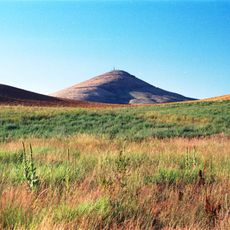
Steptoe Butte
52.6 km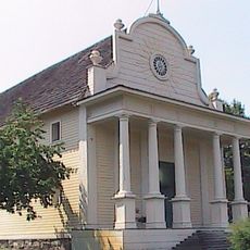
Old Mission State Park
43 km
Palouse to Cascades State Park Trail
44.6 km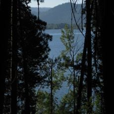
Heyburn State Park
16.7 km
Coeur d’Alene Casino
33.1 km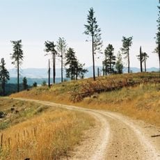
McCroskey State Park
28 km
Veterans Memorial Centennial Bridge
47.8 km
Hobo Cedar Grove Botanical Area
42.8 km
Coeur d'Alene Mission of the Sacred Heart
20.9 km
Bovill Opera House
44.9 km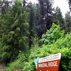
Mineral Ridge National Recreation Trail, Idaho
43.3 km
Commercial Historic District
37.9 km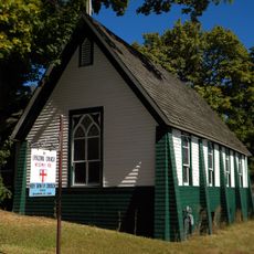
Holy Trinity Episcopal Church
46.5 km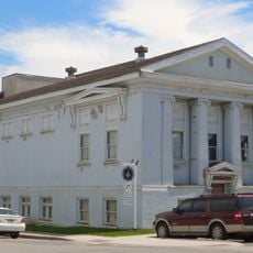
St. Maries Masonic Temple No. 63
12.7 km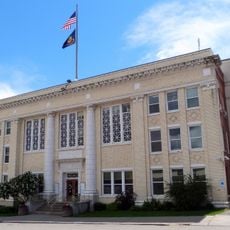
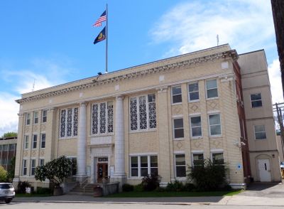
Benewah County Courthouse
12.8 km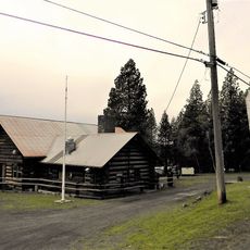
American Legion Cabin
37.5 km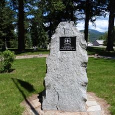
St. Maries 1910 Fire Memorial
12 km
John P. and Stella Gray House
50.6 km
Silas W. and Elizabeth Crane House
27.5 km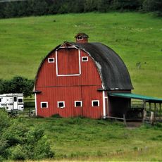
Edward and Ida Soncarty Barn
27.4 km
Rocky Point CCC Properties
16.4 km
Chatcolet CCC Picnic and Camping Area
18.9 km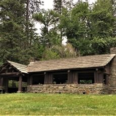
Chatcolet Lower Picnic Shelter
18.9 km
Plummer Point Picnic Shelter
18 km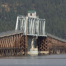
Chatcolet Bridge
19 km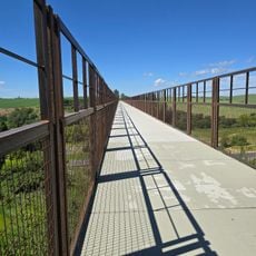
Tekoa Train Trestle
31.7 km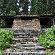
Plummer Point CCC Picnic and Hiking Area
18 km
Rocky Point Assistant Park Manager's Residence
16.4 kmReviews
Visited this place? Tap the stars to rate it and share your experience / photos with the community! Try now! You can cancel it anytime.

Discover hidden gems everywhere you go!
From secret cafés to breathtaking viewpoints, skip the crowded tourist spots and find places that match your style. Our app makes it easy with voice search, smart filtering, route optimization, and insider tips from travelers worldwide. Download now for the complete mobile experience.

A unique approach to discovering new places❞
— Le Figaro
All the places worth exploring❞
— France Info
A tailor-made excursion in just a few clicks❞
— 20 Minutes