Bitterroot Mountains, Mountain range between Montana and Idaho, United States
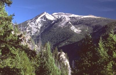
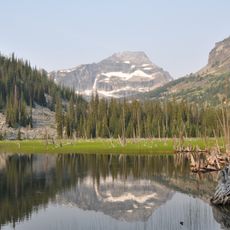
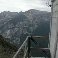
The Bitterroot Mountains form a major range straddling Montana and Idaho, featuring rocky peaks, deep valleys, and forested slopes that rise steeply from the surrounding terrain. The landscape includes alpine zones, cirque lakes, and glacially carved canyons, creating a complex topography with diverse ecosystems from valley floors to high ridges.
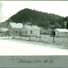
The range served as a critical passage for the Lewis and Clark Expedition in 1805, which helped map western geography and establish knowledge of the terrain. In later decades, settlers and miners moved through and around these mountains during westward expansion, shaping how the region developed through logging and extraction activities.
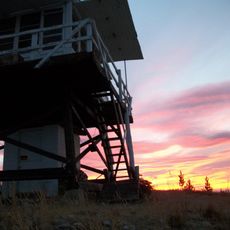
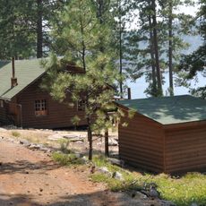
The mountains shape daily life for nearby communities, where locals have long combined forestry work with outdoor pursuits. Visitors encounter this connection as they explore trails that pass through working forests and recreational areas used by residents year-round.
Access to these mountains works best during warmer months when roads and trails are most passable and snow-free at lower elevations. Weather can change quickly at higher elevations, so visitors should carry layers, water, and map tools regardless of the season.
Between two main passes lies a section with glacier-sculpted horns and granite walls that attract technical rock climbers seeking challenging routes. Few visitors realize that this high zone preserves evidence of ice age glaciation and offers climbing opportunities that require specialized skill and experience.
The community of curious travelers
AroundUs brings together thousands of curated places, local tips, and hidden gems, enriched daily by 60,000 contributors worldwide.