Bitterroot National Forest, National forest in Montana, United States
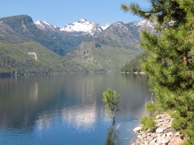
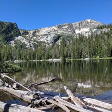
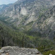
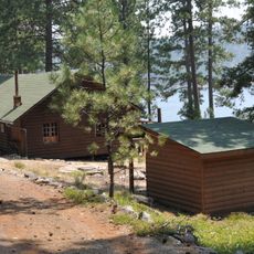
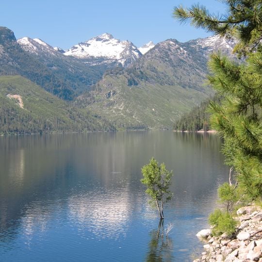
Bitterroot National Forest covers 1.587 million acres across Ravalli County in west-central Montana and Idaho County in eastern Idaho. Elevations run from 2,200 feet along the Salmon River to 10,157-foot Trapper Peak. Below the treeline, Douglas fir, larch and lodgepole pine give way to Engelmann spruce and whitebark pine; above about 8,000 feet, alpine flowers and grasses replace the trees.
The forest area was established as the Bitter Root Forest Reserve in 1898 with a much larger initial size before being transferred to Forest Service management in 1906. This early conservation effort helped shape the American national forest system we know today.
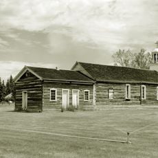
The Nez Perce National Historic Trail crosses part of the forest, retracing the 1877 route of the retreating Nez Perce from Idaho toward north-central Montana. The forest also holds remnants of mining towns that sprang up after gold was found in Idaho and Montana in the 1860s, some of which became ghost towns.
The forest has 1,600 miles (2,500 km) of trails and 18 improved campgrounds. In the three wilderness areas no roads, logging, mining or construction are allowed, and access is on foot or horseback only; bicycles are not permitted, while hunting is allowed forest-wide. Headquarters is in Hamilton, with ranger district offices in Darby, Stevensville and Sula; U.S. Highway 93 passes through parts of the forest.
The three wilderness areas inside the forest are mostly in neighbouring national forests: the Anaconda–Pintler, Selway–Bitterroot and Frank Church–River of No Return. In them no roads, logging, mining or construction are allowed and access is on foot or horseback; bicycles are banned, but hunting is permitted forest-wide.
The community of curious travelers
AroundUs brings together thousands of curated places, local tips, and hidden gems, enriched daily by 95,017 contributors worldwide.