Chest opened
+${chestReward.xp} XP
Explorer
NOUVEAU ×${chestReward.collectible.quantity}
tapez pour fermer
Chest locked

Open chests in the app

Around Us is built for your phone — chests unlock when you walk, explore and capture nearby places.

Enable Location

We need your location to show you interesting places around you

Discover nearby places

Find interesting locations and hidden gems around you

Precise directions

Get accurate directions and distances to places

Your location is never shared with other users. It's only used when you tap the location button.

Log in to your account

Start exploring — it's free

Trusted by 73,087 travelers worldwide

Continue with Google
Continue with Apple
or

We will send you a code to connect

By continuing, you accept our Terms and Conditions and our Privacy Policy

Check your inbox

We've sent a pincode in your inbox. Please enter the code below.

341st Missile Wing LGM-30 Minuteman Missile Launch Sites
Discussion Reviews Photo
48.8k Popularity

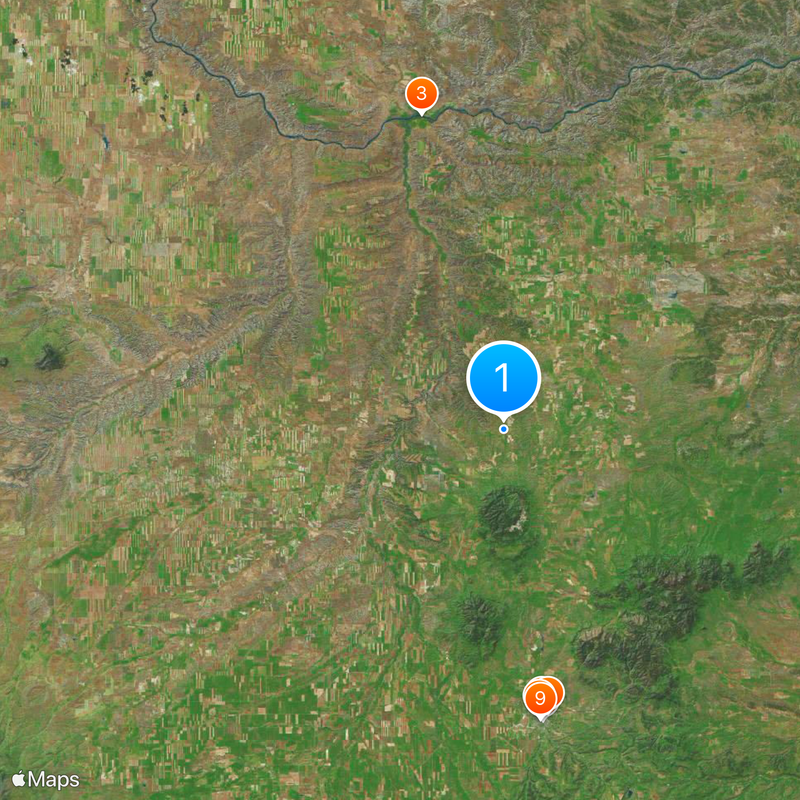
341st Missile Wing LGM-30 Minuteman Missile Launch Sites, Military missile launch facility in central Montana, United States.

The 341st Missile Wing operates a network of underground missile silos scattered across central Montana as part of the nation's nuclear deterrent system. Multiple Launch Control Centers coordinate the readiness of these installations through secure communication infrastructure embedded throughout the region.

The site was built in 1961 in response to Cold War tensions and became operational with deployed missiles in 1962. It remained a critical component of United States defense strategy for decades.

Military personnel at the Montana missile sites develop specialized protocols and procedures while maintaining a continuous 24-hour alert status throughout the year.

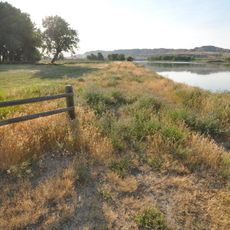
Most launch sites are accessible from public roads and visible from a distance, though interior access to the silos is restricted. Visitors should remember this is an active military installation and photography may be limited in certain areas.

The silos were engineered to withstand extreme pressure and could survive nuclear explosions in their vicinity, representing a remarkable technical achievement of the Cold War era. This resilient design reflects the intensity of deterrence thinking at the time.

The community of curious travelers

AroundUs brings together thousands of curated places, local tips, and hidden gems, enriched daily by 60,000 contributors worldwide.

Start exploring
Location
GPS coordinates
47.38500,-109.49000
Latest update
December 14, 2025 19:05
Around this place
Fergus County High School
United States of America

Fergus County High School

36.5 km
Judith Landing Historic District
United States of America

Judith Landing Historic District

40.5 km
Masonic Temple
United States of America

Masonic Temple

36 km
Lewistown Central Business Historic District
United States of America

Lewistown Central Business Historic District

36 km
United States of America

Ayers House

35.6 km
St. Joseph's Hospital
United States of America

St. Joseph's Hospital

35.7 km
Abraham and Mary Walton Hogeland House
United States of America

Abraham and Mary Walton Hogeland House

35.9 km
Lewistown Courthouse Historic District
United States of America

Lewistown Courthouse Historic District

36.3 km
Anderson House
United States of America

Anderson House

36.6 km
Lewistown Silk Stocking District
United States of America

Lewistown Silk Stocking District

35.8 km
Huntoon Residence
United States of America

Huntoon Residence

36.9 km
United States of America

D'Autremont Complex

37.4 km
United States of America

Lions Club Park

35.1 km
United States of America

Deadman Rapids

40.4 km
United States of America

Lone Pine Rapids

48.2 km
United States of America

Chalk Cliffs

52.5 km
United States of America

Bear Rapids

37.9 km
United States of America

The Wall

43.1 km
United States of America

Dauphin Rapids

40.7 km
United States of America

Bird Rapids

50.4 km
United States of America

Little Dog Rapids

37.7 km
United States of America

Castle Bluff Rapids

48.9 km
United States of America

Castle Bluffs Rapids

49 km
United States of America

Gallatin Rapids

38.3 km
United States of America

Pine Meadows Golf Course

37.2 km
United States of America

Judith Shadows Golf Course

34.8 km
United States of America

Charlie Russell Chew Choo

29.6 km
United States of America

Wolf Creek Falls

21.5 km
Show the full map
Reviews
Share your experience

No review yet

Discussions
Start a discussion...

No discussion yet

« 341st Missile Wing LGM-30 Minuteman Missile Launch Sites - Military missile launch facility in central Montana, United States » is provided by Around Us (aroundus.com). Images and texts are derived from Wikimedia project under a Creative Commons license. You are allowed to copy, distribute, and modify copies of this page, under the conditions set by the license, as long as this note is clearly visible.

Discover hidden gems everywhere you go!

From secret cafés to breathtaking viewpoints, skip the crowded tourist spots and find places that match your style. Our app makes it easy with voice search, smart filtering, route optimization, and insider tips from travelers worldwide. Download now for the complete mobile experience.

Around Us App Screenshot

A unique approach to discovering new places

Le Figaro

All the places worth exploring

France Info

A tailor-made excursion in just a few clicks

20 Minutes

Around Us
Travel Guide & Maps
Download

Send to your phone

QR Code
1

Open the camera app on your mobile.

2

Point at the QR code with your camera. A notification will appear.

3

Tap the notification to open the link.