Enable Location

We need your location to show you interesting places around you

Discover nearby places

Find interesting locations and hidden gems around you

Precise directions

Get accurate directions and distances to places

Your location is never shared with other users. It's only used when you tap the location button.

Log in to your account

Start exploring — it's free

Trusted by 61,452 travelers worldwide

Continue with Google
Continue with Apple
or

We will send you a code to connect

By continuing, you accept our Terms and Conditions and our Privacy Policy

Check your inbox

We've sent a pincode in your inbox. Please enter the code below.

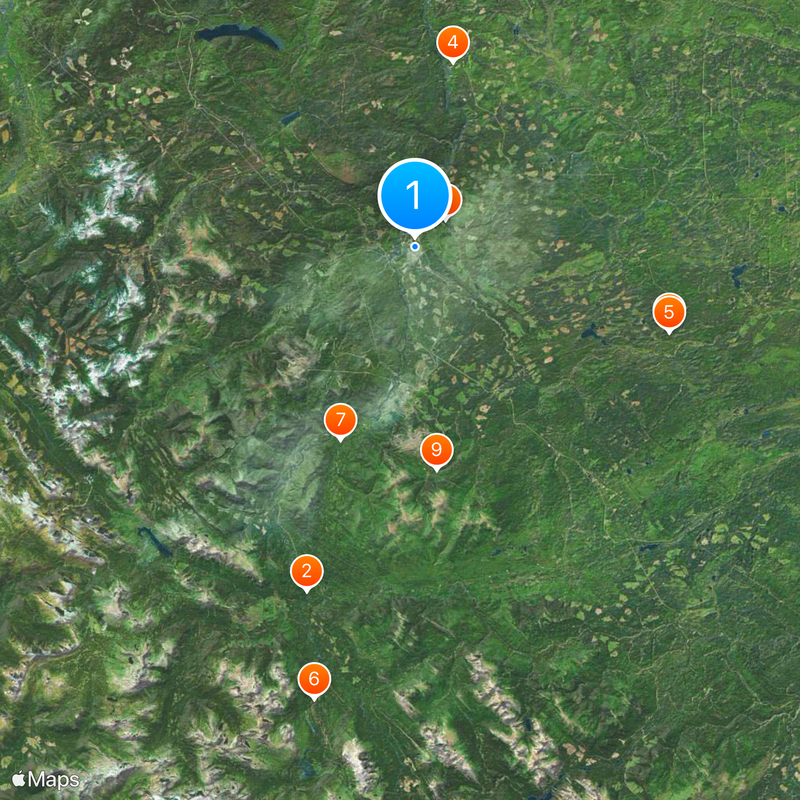
Tumbler Ridge, Mining district municipality in Peace River Regional District, Canada

Description

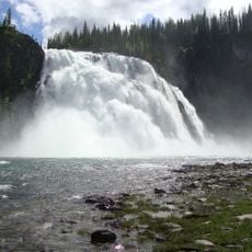
Tumbler Ridge is a municipality in northeastern British Columbia located near where the Murray River and Flatbed Creek meet. The landscape includes hiking trails that connect to natural sites, provincial parks, and Kinuseo Falls in the adjacent Monkman Provincial Park.

History

The provincial government established this municipality in 1981 as part of a coal development project to support mining in the region. Its founding was tied to economic development plans for the northeast.

Culture

The Peace Region Paleontology Research Center displays dinosaur fossils discovered locally, revealing the ancient past of this place. Visitors can see what creatures once lived in this region.

Practical

Visitors should prepare for changing weather conditions due to the higher elevation and temperature fluctuations. The hiking trails require average fitness and offer different difficulty levels.

Did you know?

The region was home to Sekani, Dunneza, and Cree peoples for thousands of years before becoming a modern municipality. These roots continue to shape the place's identity and heritage.

Inception
April 9, 1981
Elevation above the sea
830 m
GPS coordinates
55.13333,-121.00000
Latest update
December 20, 2025 11:34

AroundUs brings together thousands of curated places, local tips, and hidden gems, enriched daily by 60,000 contributors worldwide. Discover all places nearby (Peace River Regional District).

« Tumbler Ridge - Mining district municipality in Peace River Regional District, Canada » is provided by Around Us (aroundus.com). Images and texts are derived from Wikimedia project under a Creative Commons license. You are allowed to copy, distribute, and modify copies of this page, under the conditions set by the license, as long as this note is clearly visible.

Discover hidden gems everywhere you go!

From secret cafés to breathtaking viewpoints, skip the crowded tourist spots and find places that match your style. Our app makes it easy with voice search, smart filtering, route optimization, and insider tips from travelers worldwide. Download now for the complete mobile experience.

Around Us App Screenshot

A unique approach to discovering new places

Le Figaro

All the places worth exploring

France Info

A tailor-made excursion in just a few clicks

20 Minutes

Around Us
Travel Guide & Maps
Download

Send to your phone

QR Code
1

Open the camera app on your mobile.

2

Point at the QR code with your camera. A notification will appear.

3

Tap the notification to open the link.