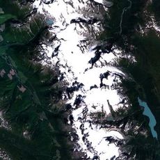
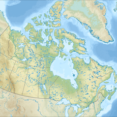
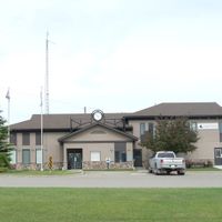
Peace River Regional District, Regional district in northeastern British Columbia, Canada
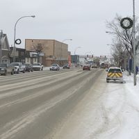
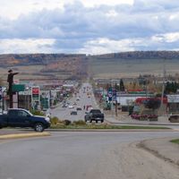
Peace River Regional District is an administrative division in northeastern British Columbia that encompasses multiple municipalities and electoral areas spanning a vast territory. The region stretches between Fort St. John and Dawson Creek, incorporating seven municipalities and four additional electoral areas.
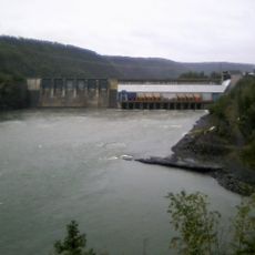
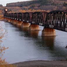
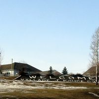
The region developed in the 1800s when European-Canadian explorers established trading posts at locations such as Fort St. John and Hudson's Hope. These early settlements formed the foundation for the area's modern administrative structure.
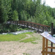
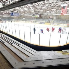
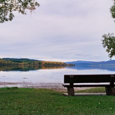
Local communities participate in regular celebrations at regional parks, including Blackfoot Park, Montney Centennial Park, Minaker River Park, and Spencer Tuck Park.
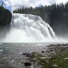
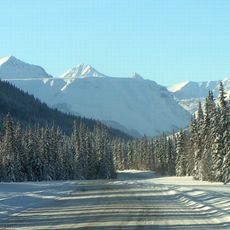
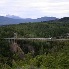
Visitors should know the region is quite large and comprises multiple municipalities and electoral areas spread across a vast landscape. It helps to plan in advance which parts of the territory you want to visit, as distances between settlements can be significant.
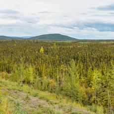
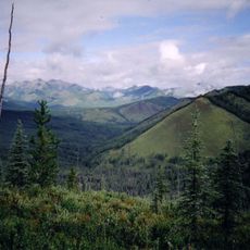
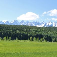
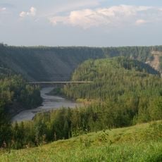
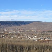
The territory contains a large portion of the province's agricultural land, featuring extensive grain fields and cattle operations spread across rolling hills. This agricultural character shapes the landscape throughout the region in a distinctive way.
The community of curious travelers
AroundUs brings together thousands of curated places, local tips, and hidden gems, enriched daily by 60,000 contributors worldwide.