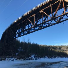
Montney Formation, Geological formation in British Columbia, Canada
The Montney Formation is a Lower Triassic stratigraphic unit of the Western Canadian Sedimentary Basin in British Columbia and Alberta. It consists of siltstone and dark grey shale, with dolomitic siltstone at the base and fine-grained sandstone towards the top. Its facies is shaley in the north and west around Fort St. John, silty in the centre near Dawson Creek and Pouce Coupe, and coarser in western Alberta near Valleyview. It reaches a maximum thickness of 280 metres in the foothills of the northern Canadian Rockies.
The Montney Formation is Lower Triassic in age. It was first described in 1962 by J.H. Armitage from Texaco's Buick Creek No. 7 well, drilled 41 kilometres north of Fort St. John, immediately east of the Alaska Highway. It takes its name from the hamlet of Montney. Shale gas extraction from its western extent began in the late 2000s.
The name comes from the hamlet of Montney in British Columbia, near where J.H. Armitage first described the unit in Texaco's Buick Creek No. 7 well in 1962. Today the formation underpins a shale gas and tight oil industry in both British Columbia and Alberta, with operators such as Seven Generations Energy, Progress Energy Canada (a PETRONAS subsidiary), Shell, Encana, Murphy Oil, ARC Resources and Advantage Oil & Gas.
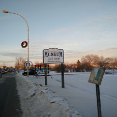
The formation lies beneath the surface and is not directly visible, so understanding it requires geological maps or information centers. Visitors can explore museums and exhibitions that explain the regional gas deposits and geological history.
The Montney Formation extends into Alberta as well and ranks among the largest natural gas sources in North America. This subsurface resource deposit shapes the economy and development of multiple provinces in the region.
The community of curious travelers
AroundUs brings together thousands of curated places, local tips, and hidden gems, enriched daily by 93,695 contributors worldwide.