Enable Location

We need your location to show you interesting places around you

Discover nearby places

Find interesting locations and hidden gems around you

Precise directions

Get accurate directions and distances to places

Your location is never shared with other users. It's only used when you tap the location button.

Alaska Highway

Log in to your account

Start exploring — it's free

Trusted by 62,293 travelers worldwide

Continue with Google
Continue with Apple
or

We will send you a code to connect

By continuing, you accept our Terms and Conditions and our Privacy Policy

Check your inbox

We've sent a pincode in your inbox. Please enter the code below.

Alaska Highway

Alaska Highway, Highway network from British Columbia through Yukon to Alaska, Canada.

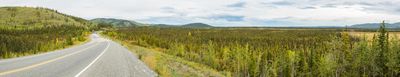
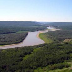
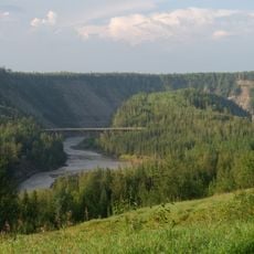
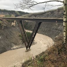
The Alaska Highway is a road network in Canada and the United States linking British Columbia to Alaska through Yukon Territory. The road runs through coniferous forests, crosses rivers, and winds through mountain valleys for more than 2,200 kilometers (1,400 miles).

American engineers built this connection within eight months in 1942 to create a land supply route to Alaska during World War II. Initially the road was only a gravel track, later gradually paved over several decades.

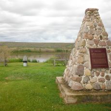
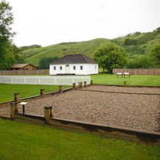
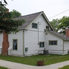
Milepost markers and interpretive signs along the route recall the military origin and rapid pace of construction. Drivers often see roadhouses and lodges that serve as gathering points for long-haul truckers and travelers.

Gas stations and small settlements sometimes lie more than 100 kilometers (60 miles) apart, so drivers should carry enough fuel. Weather can change quickly and road conditions become challenging in spring and fall when frost and thaw alternate.

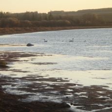
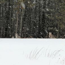
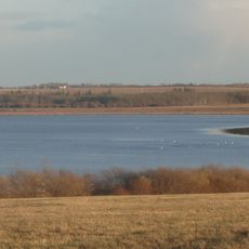
The entire route passes through three time zones and leads through landscapes where bison and bears roam freely. Along some sections drivers can still travel in daylight after 10 p.m. during summer.

The community of curious travelers

AroundUs brings together thousands of curated places, local tips, and hidden gems, enriched daily by 60,000 contributors worldwide.

Start exploring
Location
Location
Location
Inception
1942
Official opening
1943
Part of
Pan-American Highway
GPS coordinates
55.76083,-120.23556
Latest update
December 12, 2025 21:34
« Alaska Highway - Highway network from British Columbia through Yukon to Alaska, Canada » is provided by Around Us (aroundus.com). Images and texts are derived from Wikimedia project under a Creative Commons license. You are allowed to copy, distribute, and modify copies of this page, under the conditions set by the license, as long as this note is clearly visible.

Discover hidden gems everywhere you go!

From secret cafés to breathtaking viewpoints, skip the crowded tourist spots and find places that match your style. Our app makes it easy with voice search, smart filtering, route optimization, and insider tips from travelers worldwide. Download now for the complete mobile experience.

Around Us App Screenshot

A unique approach to discovering new places

Le Figaro

All the places worth exploring

France Info

A tailor-made excursion in just a few clicks

20 Minutes

Around Us
Travel Guide & Maps
Download

Send to your phone

QR Code
1

Open the camera app on your mobile.

2

Point at the QR code with your camera. A notification will appear.

3

Tap the notification to open the link.