Yukon, Territory in northwestern Canada
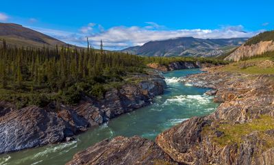
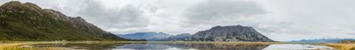
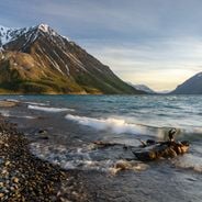
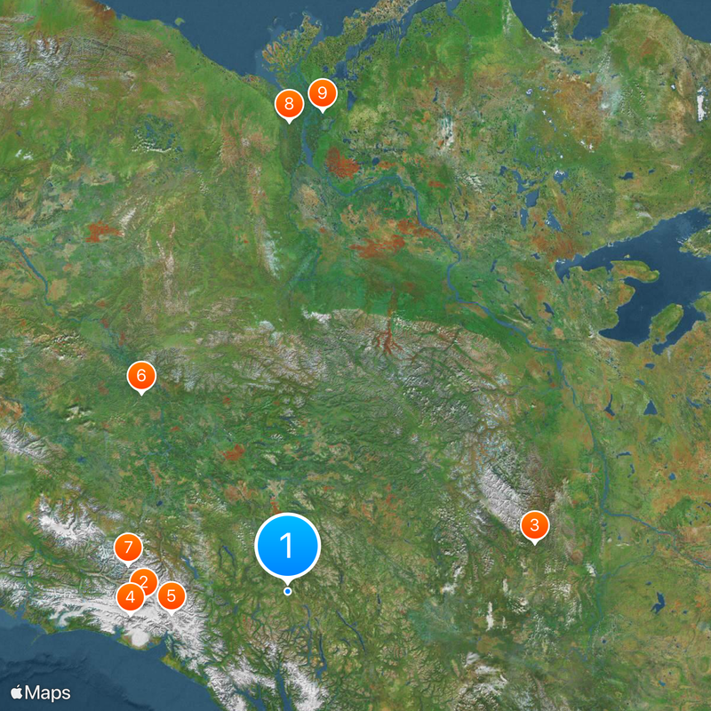
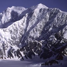
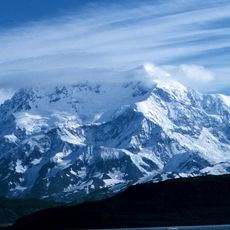
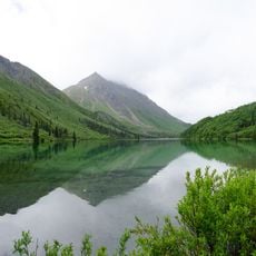
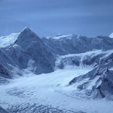
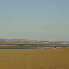
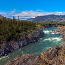
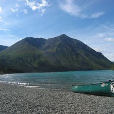
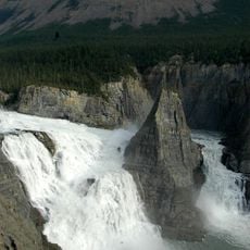
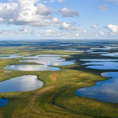
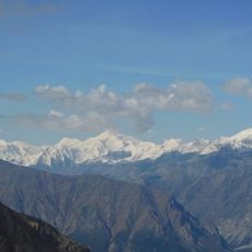
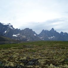
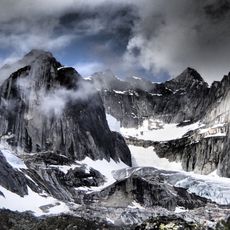
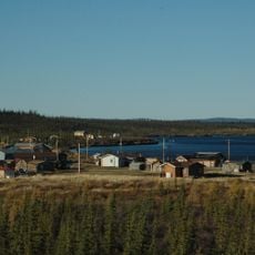
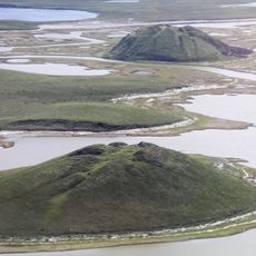
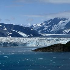
Yukon is a territory in northwestern Canada where mountain ranges, forests, tundra, rivers and lakes spread across a large area. The landscape shifts between deep valleys, rolling hills and wide open plains that turn green in summer and lie buried under snow in winter.
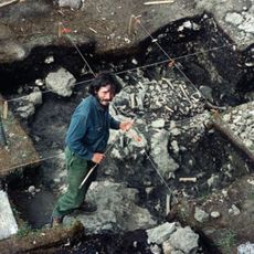
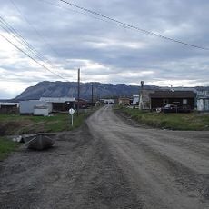
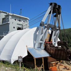
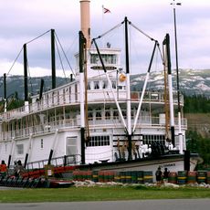
Gold seekers arrived here in the late 19th century and turned the thinly populated area into a region full of camps and settlements. Many stayed only briefly, but some towns formed permanently and shape the region to this day.
First Nations people continue to practice their customs here and you can witness their crafts, storytelling and ceremonies in many places. In daily life you notice the strong connection to nature, reflected in how people interact with and respect the land around them.
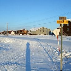
A main highway leads here from British Columbia and connects the larger settlements, while an airport near Whitehorse provides access by air. Distances are long and weather changes quickly, so it helps to allow enough time and be prepared for cold conditions.
In summer the sun barely sets and casts the landscape in a continuous twilight known as midnight light. In winter the pattern reverses and night lingers long, creating good conditions for watching the northern lights.
Location: Canada
Inception: 1898
Capital city: Whitehorse
Reference: YT
Part of: Northern Canada
Shares border with: British Columbia, Alaska, Northwest Territories, North Slope Borough, Yukon-Koyukuk Census Area, Southeast Fairbanks Census Area, Valdez–Cordova Census Area
Website: https://yukon.ca
GPS coordinates: 60.72083,-135.05333
Latest update: December 14, 2025 23:39
Mount Logan
292.5 km
Nahanni National Park Reserve
503.2 km
Mount Saint Elias
325.5 km
Hubbard Glacier
240.8 km
Bluefish Caves
472.7 km
Kluane National Park and Reserve
325.2 km
Aklavik
834.8 km
Midnight Sun Mosque
853.6 km
Old Crow Flats
782.7 km
Mount Kennedy
218.5 km
Paulatuk
1086.8 km
Ivvavik National Park
1001 km
Kluane / Wrangell – St. Elias / Glacier Bay / Tatshenshini-Alsek
325.2 km
Tulita
668.7 km
Virginia Falls
509.4 km
Vuntut National Park
877 km
Dredge No. 4
421.4 km
Mount Lucania
295.1 km
Tombstone Territorial Park
463.4 km
Aurora College
852.6 km
Takhini Hot Springs
24.2 km
Sign Post Forest
356.1 km
SS Klondike
878 m
Mount Nirvana
414.3 km
Mount Vancouver
257.7 km
Colville Lake
827.3 km
Pingo Canadian Landmark
970.4 km
Mount Hubbard
224.6 kmVisited this place? Tap the stars to rate it and share your experience / photos with the community! Try now! You can cancel it anytime.
Discover hidden gems everywhere you go!
From secret cafés to breathtaking viewpoints, skip the crowded tourist spots and find places that match your style. Our app makes it easy with voice search, smart filtering, route optimization, and insider tips from travelers worldwide. Download now for the complete mobile experience.
A unique approach to discovering new places❞
— Le Figaro
All the places worth exploring❞
— France Info
A tailor-made excursion in just a few clicks❞
— 20 Minutes