Mount Saint Elias, Mountain summit on the Alaska-Yukon border, Canada and United States
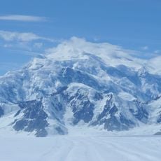
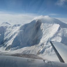
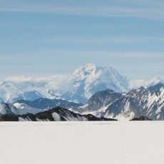
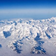
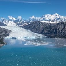
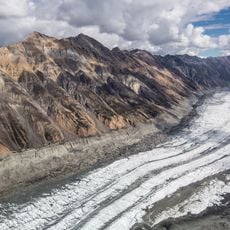
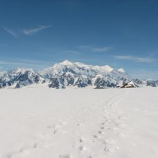
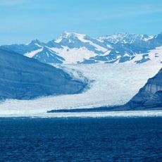
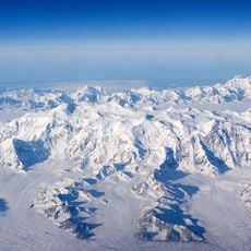
Mount Saint Elias is a 5,489-meter (18,008-foot) summit on the Alaska-Yukon border, within Wrangell-St. Elias National Park on the U.S. side and Kluane National Park and Reserve on the Canadian side. Its broad, rounded top carries a flat layer of cloud above snowfields and dark rock ridges, with deep gullies and shadowed ravines cutting the face. The summit rises 5,489 meters in just 16 kilometers from the head of Taan Fjord.
Danish navigator Vitus Bering spotted Mount Saint Elias from his ship in 1741, representing the first documented European sighting of this peak. The mountain subsequently became a key reference point for cartographers and explorers mapping the North American coast.
The Tlingit people called this peak Yaas'éit'aa Shaa, meaning mountain behind Icy Bay, and used it as a landmark along their Copper River trade routes.
Climbing this summit demands extensive mountaineering training and specialized gear, along with careful attention to weather patterns. Due to its Pacific proximity, storms can develop rapidly, so visitors should time their visit thoughtfully and monitor forecasts closely.
Mount Saint Elias rises 5,489 m in only 16 km from Taan Fjord, but this is not the world's greatest base-to-peak rise: Rakaposhi's north flank climbs 5,980 m and Pico Cristóbal Colón has a prominence of 5,584 m. The summit was first reached on 31 July 1897 by Prince Luigi Amedeo, Duke of the Abruzzi, with photographer Vittorio Sella in the party.
The community of curious travelers
AroundUs brings together thousands of curated places, local tips, and hidden gems, enriched daily by 92,648 contributors worldwide.