Mount Cook, Mountain peak in Alaska, United States
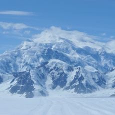
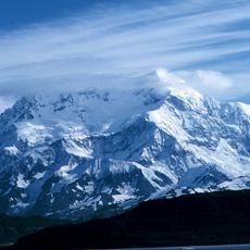
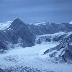
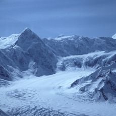
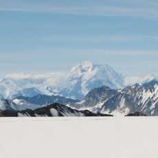
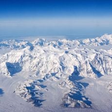
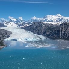
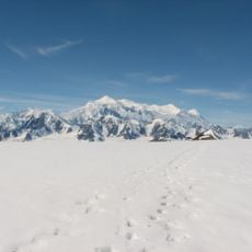
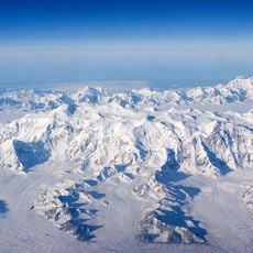
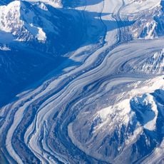
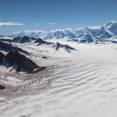
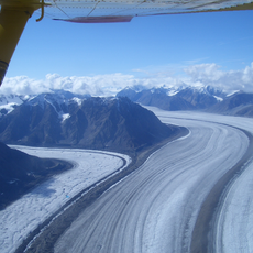
Mount Cook is a high mountain peak located in the Saint Elias Range near Alaska's Pacific coast. The summit features steep rocky terrain and expansive glacial fields that persist throughout the year.
Mount Cook, also called Boundary Peak 182, lies on the straight-line border between Yukon and Alaska, one of the corners where the boundary runs between major peaks. It was first climbed in 1953. The peak appears only four times in the complete index of the American Alpine Journal, a measure of how rarely it is visited.
The peak carries the name Boundary Peak 182, marking its role as one of the corners of the straight-line border between Yukon and Alaska, which also separates Kluane National Park from Wrangell-St. Elias National Park and Preserve. The mountain lies about 15 miles southwest of Mount Vancouver and 35 miles east-southeast of Mount Saint Elias.
The peak was first climbed in 1953, but it is rarely attempted: its remoteness, its size, the typically poor weather near the ocean and its modest height among Saint Elias peaks all deter parties. Only four references to it appear in the complete index of the American Alpine Journal. Approach from the Alaska or Yukon side; the summit lies on the straight-line border between Wrangell-St. Elias and Kluane national parks.
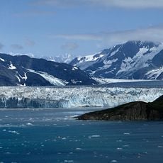
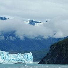
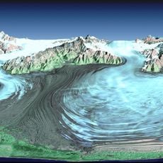
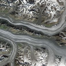
Mount Cook lies less than 18 miles (29 km) from Disenchantment Bay, so its summit is close to tidewater. Its southwest face drops 10,000 feet (3,000 m) to the Marvine Glacier in about 4 miles (6.4 km). The peak appears only four times in the complete index of the American Alpine Journal.
The community of curious travelers
AroundUs brings together thousands of curated places, local tips, and hidden gems, enriched daily by 93,025 contributors worldwide.