Enable Location

We need your location to show you interesting places around you

Discover nearby places

Find interesting locations and hidden gems around you

Precise directions

Get accurate directions and distances to places

Your location is never shared with other users. It's only used when you tap the location button.

McArthur Peak

Log in to your account

Start exploring — it's free

Trusted by 62,782 travelers worldwide

Continue with Google
Continue with Apple
or

We will send you a code to connect

By continuing, you accept our Terms and Conditions and our Privacy Policy

Check your inbox

We've sent a pincode in your inbox. Please enter the code below.

McArthur Peak

McArthur Peak, Mountain peak in Saint Elias Mountains, Canada

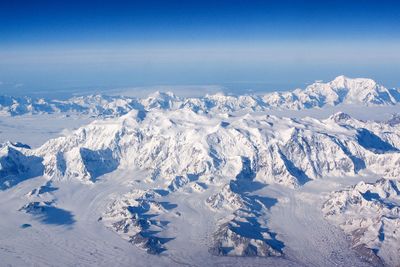
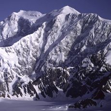
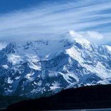
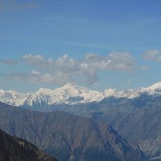
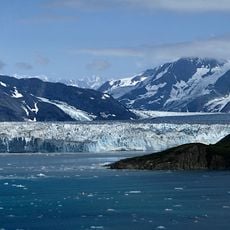
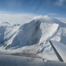
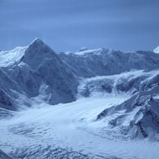
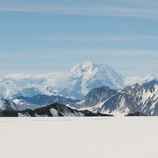
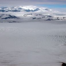
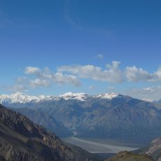
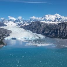
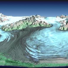
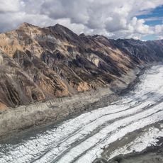
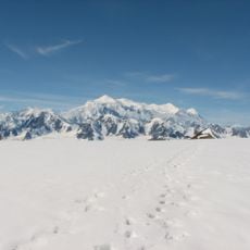
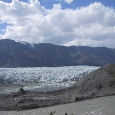
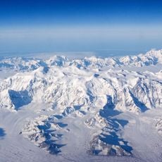
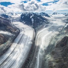
McArthur Peak is a mountain in the Saint Elias Mountains of Yukon that rises to approximately 4,344 meters. It stands as one of Canada's tallest summits and sits northeast of Mount Logan in a region covered by glaciers and snow.

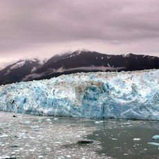
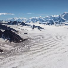
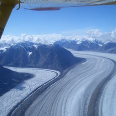
The first successful climb of McArthur Peak occurred in 1961 when a team of five mountaineers ascended via the north ridge from Hubbard Glacier. This pioneering ascent demonstrated that the summit could be reached through demanding alpine techniques.

The mountain bears the name of James Joseph McArthur, a Dominion Land Surveyor who completed the first ascent of Mount Stephen in 1887.

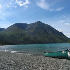
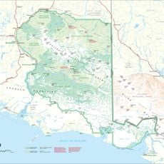
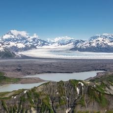
Visitors need advanced skills in glacier climbing, snow work, and ice climbing to reach this summit. Access comes through Kluane National Park and Reserve, which requires careful planning and preparation for the challenging approach.

The mountain was named after James Joseph McArthur, a Dominion Land Surveyor whose connection to the region's exploration history led to this naming. Its elevation of 4,344 meters makes it remarkably prominent within one of Canada's most remote areas.

The community of curious travelers

AroundUs brings together thousands of curated places, local tips, and hidden gems, enriched daily by 60,000 contributors worldwide.

Start exploring
Location
Elevation above the sea
4,344 m
GPS coordinates
60.60639,-140.21361
Latest update
December 13, 2025 12:21
« McArthur Peak - Mountain peak in Saint Elias Mountains, Canada » is provided by Around Us (aroundus.com). Images and texts are derived from Wikimedia project under a Creative Commons license. You are allowed to copy, distribute, and modify copies of this page, under the conditions set by the license, as long as this note is clearly visible.

Discover hidden gems everywhere you go!

From secret cafés to breathtaking viewpoints, skip the crowded tourist spots and find places that match your style. Our app makes it easy with voice search, smart filtering, route optimization, and insider tips from travelers worldwide. Download now for the complete mobile experience.

Around Us App Screenshot

A unique approach to discovering new places

Le Figaro

All the places worth exploring

France Info

A tailor-made excursion in just a few clicks

20 Minutes

Around Us
Travel Guide & Maps
Download

Send to your phone

QR Code
1

Open the camera app on your mobile.

2

Point at the QR code with your camera. A notification will appear.

3

Tap the notification to open the link.