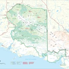
Bagley Icefield, Ice field in Valdez-Cordova Census Area, United States
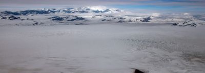
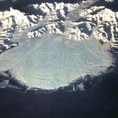
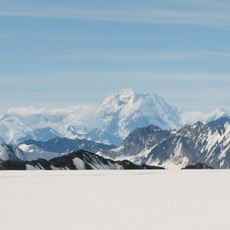
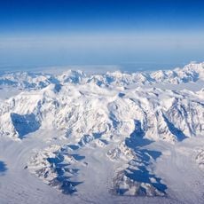
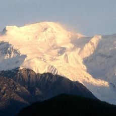
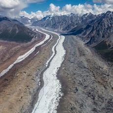
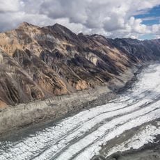
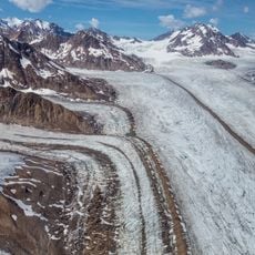
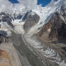
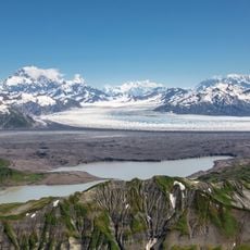
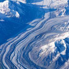
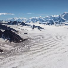
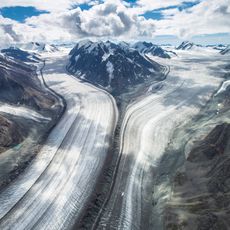
Bagley Icefield is a large connected ice field in southeastern Alaska, in the Valdez-Cordova region, and one of the biggest glacial systems in North America outside the polar areas. The surface is crossed by deep crevasses and shows clear layered patterns formed by snow accumulating and compressing over a very long time.
The ice field takes its name from James W. Bagley, an engineer who surveyed and mapped Alaska in the early 20th century. After his work, the area was gradually documented in more detail, and it became the focus of long-term monitoring that tracks how the ice has changed over decades.
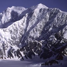
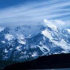
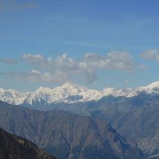
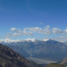
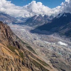
Scientists from around the world travel here to observe how the ice responds to climate shifts, making it one of the most active research sites on the continent. Fieldwork takes place directly on the ice surface, where researchers set up camps and drill into layers formed over thousands of years.
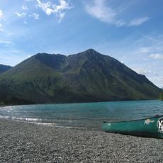
The area is remote and can only be reached with proper equipment and in the company of experienced guides who know the hazards of the ice. Weather changes fast in this part of Alaska, so anyone planning a visit needs to prepare carefully before setting out.
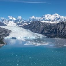
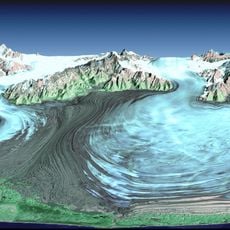
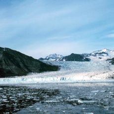
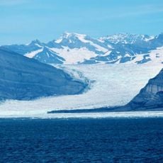
The ice reaches depths of over 3,300 feet (1,000 meters) at its thickest point and feeds several glaciers that flow outward from it, including the Guyot Glacier. That weight presses down so hard that the rock beneath the ice is actually pushed lower than it would be without it.
The community of curious travelers
AroundUs brings together thousands of curated places, local tips, and hidden gems, enriched daily by 60,000 contributors worldwide.