Tana Glacier, Glacier in Wrangell-St. Elias National Park, Alaska, US
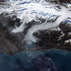
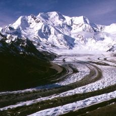
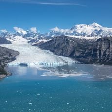
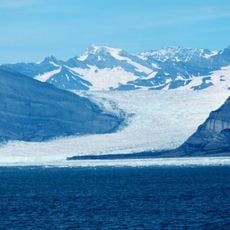
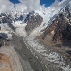
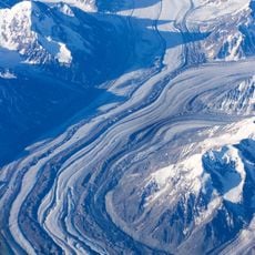
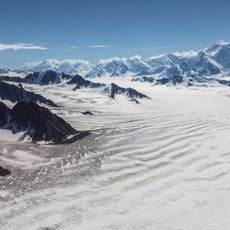
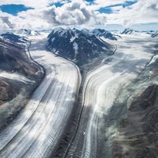
Tana Glacier is a 26 km valley glacier that forms an outlet of the Bagley Icefield and flows northwest, marking the boundary between the Eliaskette to the east and the Chugach Mountains to the west. The Jefferies Glacier joins from the right; after 20 km the Tana merges with a western tributary glacier and turns north, ending at about 1,000 m elevation. Its tongue feeds the Tana River, a left tributary of the Chitina River.
The glacier was named from Alaska Native languages and first documented by early prospectors exploring the region around 1900. This initial European mapping set the stage for later scientific study of the ice system.
The glacier's name comes from Alaska Native languages and was first written down by prospectors in 1900. It marks the boundary between the Elias Range to the east and the Chugach Mountains to the west, and its tongue feeds the Tana River, a left tributary of the Chitina River.
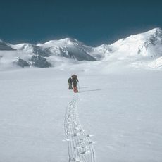
Reaching this glacier requires a multi-day trek starting from McCarthy with specialized gear including crampons and waterproof clothing. Conditions change significantly depending on the season, so proper physical preparation before departing is essential.
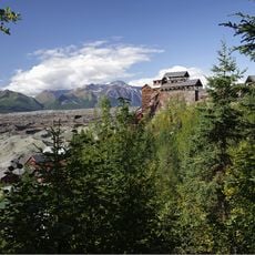
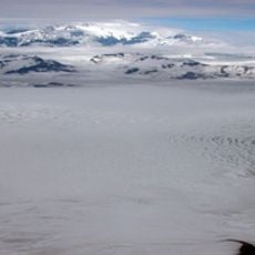
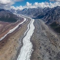
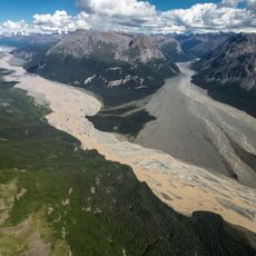
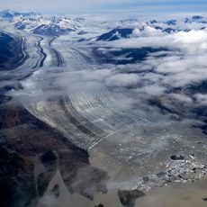
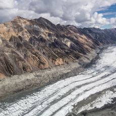
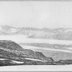
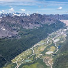
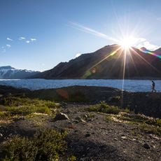
Water streams flow visibly across the glacier's surface over transparent ice, creating an intricate network of channels. The vast gravel plains at its base reveal the immense volume of sediment that the ice carves and transports downslope.
The community of curious travelers
AroundUs brings together thousands of curated places, local tips, and hidden gems, enriched daily by 92,616 contributors worldwide.