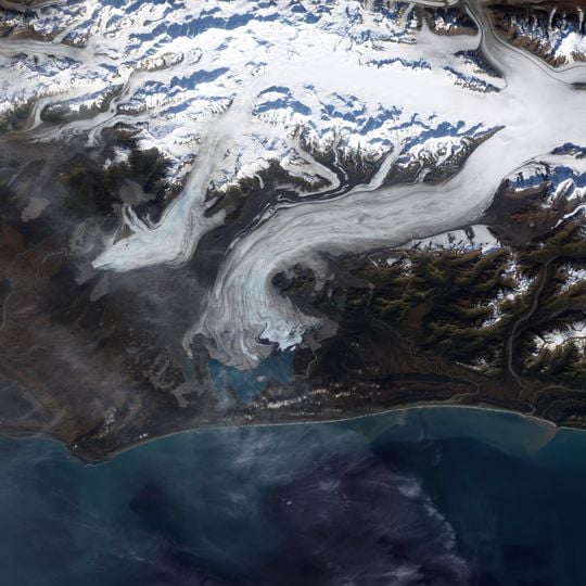
Bering Glacier, Glacier in south-central Alaska, United States.
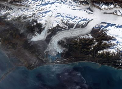
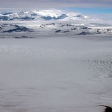
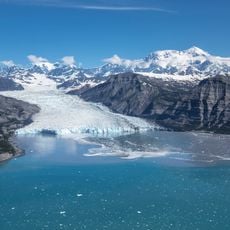
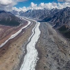
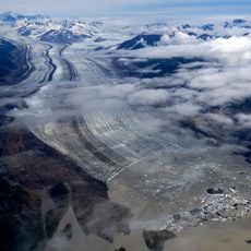
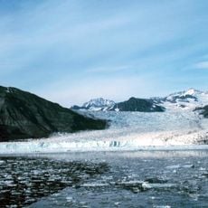
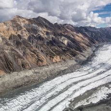
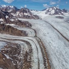
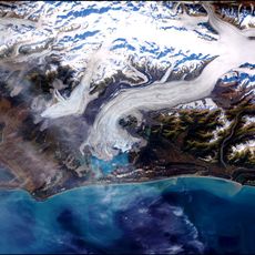
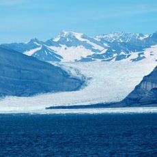
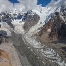
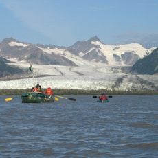
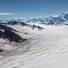
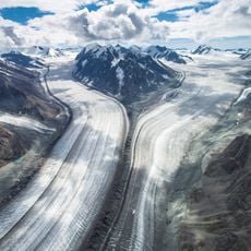
The Bering Glacier flows from the Bagley Icefield in the Chugach Mountains and ends in Vitus Lake, about 10 km from the Gulf of Alaska. It is the largest glacier in North America when combined with the icefield that feeds it. Its surface shows white ice with greyish and bluish bands, dark debris streaks along the edges, and twisted parallel ridges where the ice breaks into thinner sections before reaching a flat, dark plain.
Named after explorer Vitus Bering, this glacier has retreated up to 12 kilometers since 1900 due to rising temperatures and changing precipitation patterns documented through satellite imagery.
The glacier is named after Vitus Bering, the Russian explorer, and the saltwater lake at its terminus, Vitus Lake, carries the same name. Meltwater from the ice collects in that lake and drains through the Seal River into the Gulf of Alaska.
The glacier ends in Vitus Lake, about 10 km from the Gulf of Alaska and south of Wrangell-St. Elias National Park. Its meltwater leaves the lake via the Seal River. Access is by air or water; plan for the area's weather and check conditions with local operators.
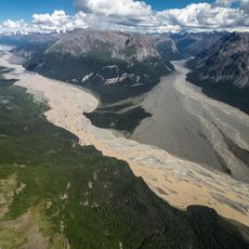
The glacier releases about 30 cubic kilometres of meltwater a year, more than twice the volume of the entire Colorado River, according to research by the Michigan Tech Research Institute with the U.S. Geological Survey and Bureau of Land Management. The meltwater gathers in Vitus Lake and drains through the Seal River into the Gulf of Alaska.
The community of curious travelers
AroundUs brings together thousands of curated places, local tips, and hidden gems, enriched daily by 93,023 contributors worldwide.