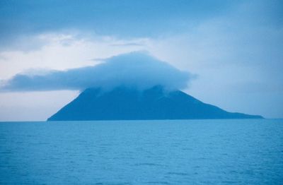
Kayak Island, Historic island in Chugach National Forest, Alaska, United States
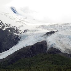
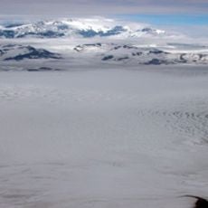
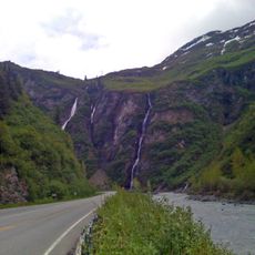
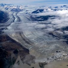
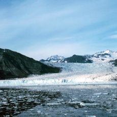
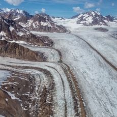
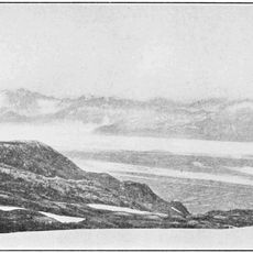
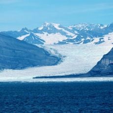
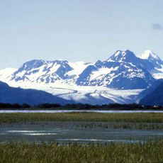
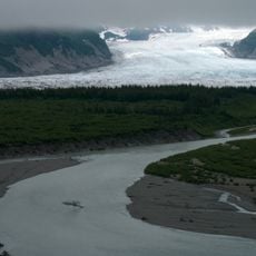
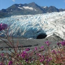
Kayak Island is a large landmass in the Gulf of Alaska defined by steep coastal cliffs and a mountainous interior covered in dense forest. The terrain is marked by rugged slopes and dramatic elevation changes throughout its expanse.
The island was reached in 1741 by naturalist Georg Wilhelm Steller during the Bering Expedition, marking the first documented European contact with Alaska. The location later became a navigation reference point when Captain James Cook passed through the region in the late 1700s.
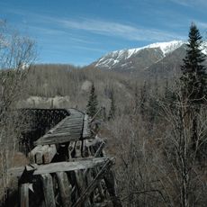
Indigenous peoples of the region used this island as a seasonal base for fishing and food storage, leaving traces of their settlements visible along the shoreline. The place remains significant as evidence of how communities adapted to life on the Gulf of Alaska.
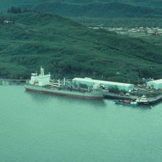
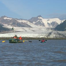
The island is accessible only by boat or aircraft from the mainland, with Cordova serving as the primary departure point for visitors. Weather conditions are critical to check before planning a trip, as the exposed location means conditions can change rapidly.
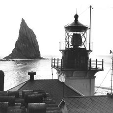
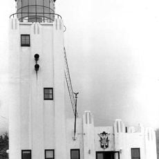
A working lighthouse at the southwestern tip marks Cape St. Elias and has guided ships through these treacherous waters for generations. The structure stands as a continuing reminder of how navigation aids were essential to maritime safety in this remote corner of Alaska.
The community of curious travelers
AroundUs brings together thousands of curated places, local tips, and hidden gems, enriched daily by 60,000 contributors worldwide.