Guyot Glacier, Glacier formation in Yakutat Borough, Alaska.
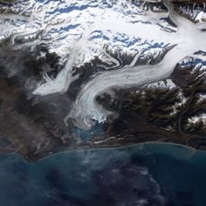
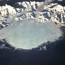
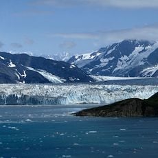
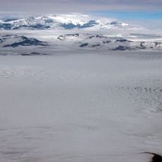
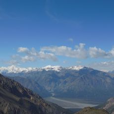
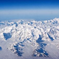
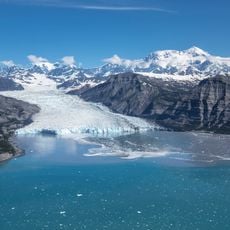
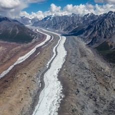
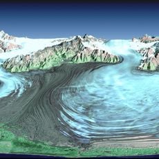
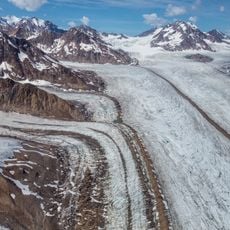
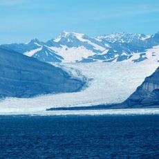
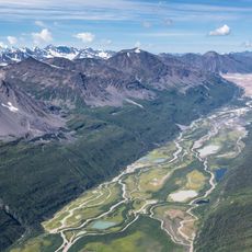
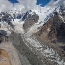
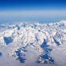
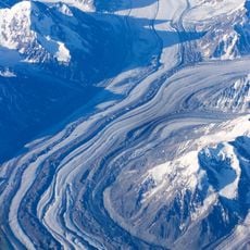
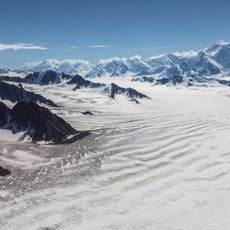
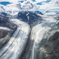
Guyot Glacier begins on the north flank of the Robinson Mountains in the Chugach Mountains and flows east into Icy Bay south of the Guyot Hills. It measures 34 miles long and 8 miles wide, covers about 470 km², and forms two tongues that reach the sea. It borders Yahtse Glacier to the north.
A team from the New York Times named this glacier in 1886 after Arnold Henry Guyot, a noted scientist of that era. The naming reflected the era of geographic exploration and documentation of Alaska's remote regions.
The glacier's name honours Arnold Henri Guyot (1807–1884), the Swiss-American naturalist and geographer, assigned in 1886 by an expedition of the New York Times. The Guyot Hills south of the ice carry the same name. The glacier's two tongues once reached the sea in Icy Bay, and its retreat during the 20th century separated it from the Yahtse Glacier.
The glacier lies in Wrangell-St. Elias National Park, about 130 km northwest of Yakutat, and its two tongues reach the sea at Icy Bay. Access is by air or boat; there are no roads or trails to the terminus. The ice is heavily crevassed, so travel requires a guide and glacier equipment.
Guyot Glacier has two tongues that reach the sea, and in the 20th century it separated from the tongue of neighbouring Yahtse Glacier as it retreated. It drains an area of about 470 km², stretching 24 km west to east and 16 km north to south.
The community of curious travelers
AroundUs brings together thousands of curated places, local tips, and hidden gems, enriched daily by 92,622 contributors worldwide.