Wrangell – Saint Elias Wilderness, Protected wilderness area in south central Alaska, United States.
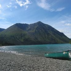
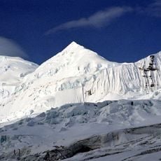
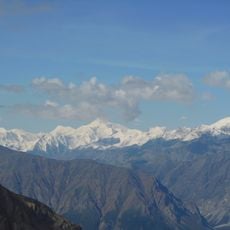
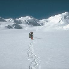
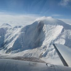
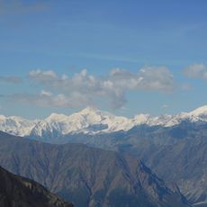
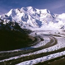
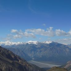
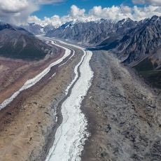
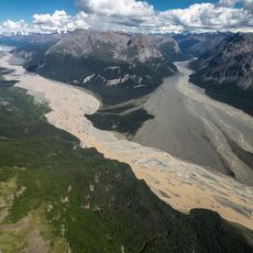
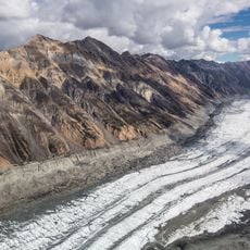
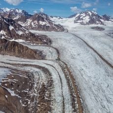
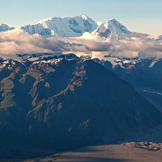
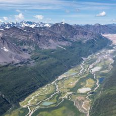
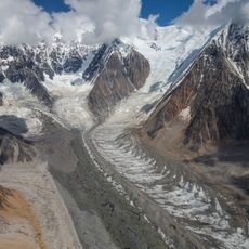
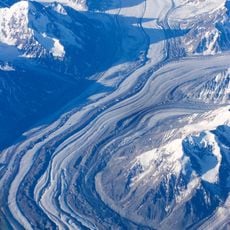
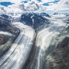
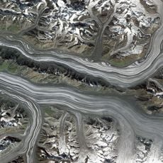
Wrangell–St. Elias Wilderness covers 9,078,675 acres, about two-thirds of Wrangell–St. Elias National Park and Preserve in south-central Alaska. It spans the Wrangell Mountains, the western Saint Elias Mountains and the eastern Chugach Mountains, drained by the Copper, Chitina, Nabesna and Chisana rivers. Mount Saint Elias rises to 18,008 feet within 10 miles of tidewater, and the Bagley Icefield, Malaspina Glacier and Hubbard Glacier lie inside its bounds.
This area received protection as a designated wilderness in 1980 through federal legislation, becoming one of the largest legally protected wild areas in the country. That decision changed how the region would be managed and preserved.
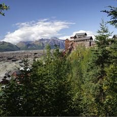
The wilderness lies within Wrangell–St. Elias National Park and Preserve, where park land allows only subsistence hunting by local rural residents, while preserve land permits sport hunting by the general public. The historic Kennecott copper boomtown, worked from 1903 to 1938, sits at the park's center; its abandoned mine buildings and mills form a National Historic Landmark district.
Access comes through two main roads or by charter aircraft to more remote areas, and you should prepare for extreme weather and difficult terrain. Planning carefully is important since conditions here are harsh and change quickly.
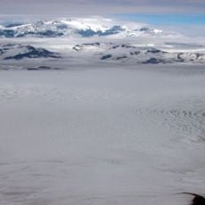
The wilderness holds 9,078,675 acres, about two-thirds of Wrangell–St. Elias National Park and Preserve and the largest single designated wilderness in the United States. Within it lies the Bagley Icefield, which covers parts of the St. Elias and Chugach ranges and accounts for much of Alaska's permanently ice-covered terrain.
The community of curious travelers
AroundUs brings together thousands of curated places, local tips, and hidden gems, enriched daily by 93,541 contributors worldwide.