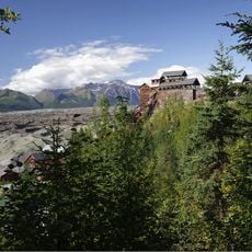
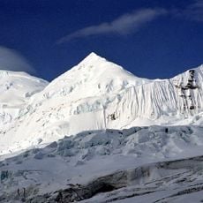
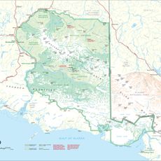
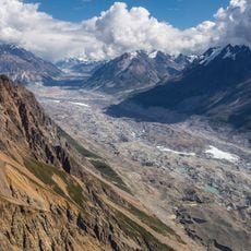
Mount Churchill, Stratovolcano in Wrangell-St. Elias National Park, Alaska, US
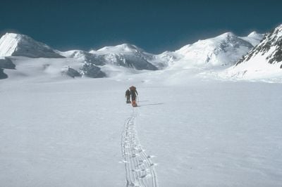
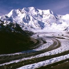
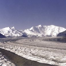
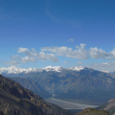
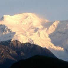
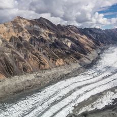
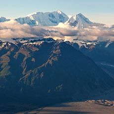
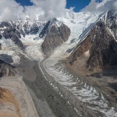
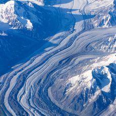
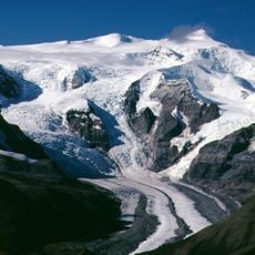
Mount Churchill is a stratovolcano in Wrangell-St. Elias National Park in Alaska that rises to approximately 4,766 meters (15,620 feet) in elevation. The volcano features a broad caldera on its eastern side and is heavily covered by glaciers and snow-covered slopes that dominate its appearance.
The mountain developed through volcanic activity and experienced two major eruptions that ejected white volcanic ash across vast distances. The most recent of these significant eruptions occurred around winter 852/853 and distributed ash across Alaska and western Canada.
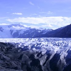
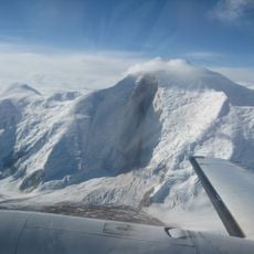
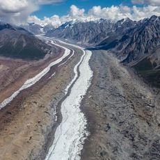
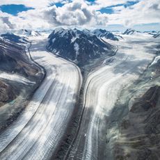
Scientists extracted the longest non-polar ice core near Mount Churchill, spanning 460.96 meters, which provides data about historical climate patterns.
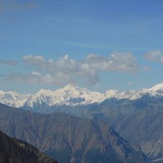
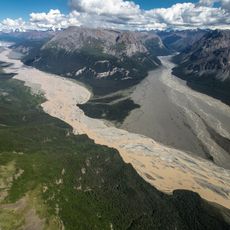
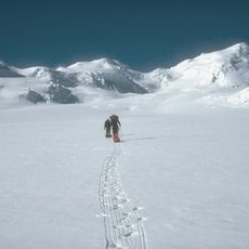
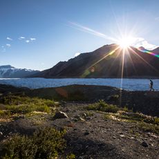
The mountain is extremely remote and typically accessed only by airplane or after extended hikes through undeveloped backcountry terrain. Visitors should rely on air services with experience in arctic conditions and wait for stable weather, as the surroundings present harsh and changing conditions.
Scientists extracted one of the longest ice cores from non-polar regions beside this mountain, reaching a depth of about 461 meters. This ice archive holds detailed records of temperatures and precipitation spanning many centuries of the past.
The community of curious travelers
AroundUs brings together thousands of curated places, local tips, and hidden gems, enriched daily by 60,000 contributors worldwide.