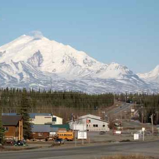
Copper River Census Area, census area in Alaska, United States
AroundUs brings together thousands of curated places, local tips, and hidden gems, enriched daily by 60,000 contributors worldwide. Discover all places nearby (Unorganized Borough).
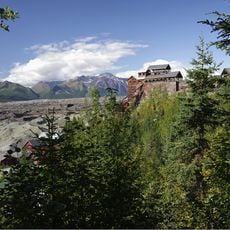
Kennecott
81.8 km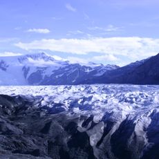
Wrangell–St. Elias National Park and Preserve
84 km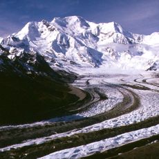
Mount Blackburn
42.4 km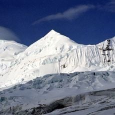
Mount Bona
135.4 km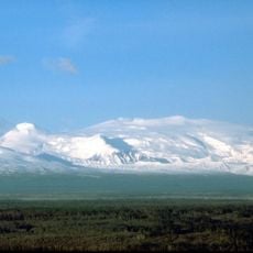
Mount Wrangell
6 km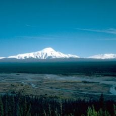
Mount Sanford
22.7 km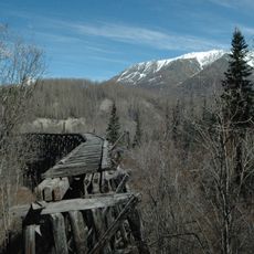
Copper River and Northwestern Railway
92.5 km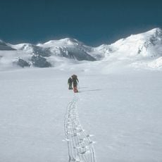
Mount Churchill
135 km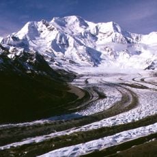
Kennicott Glacier
65.9 km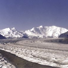
Atna Peaks
48.2 km
Nabesna Glacier
44.9 km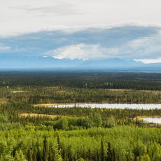
Tetlin National Wildlife Refuge
128.8 km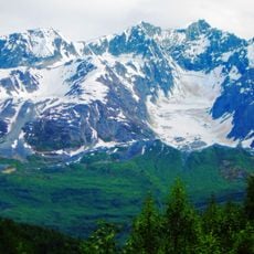
Mount Billy Mitchell
116.9 km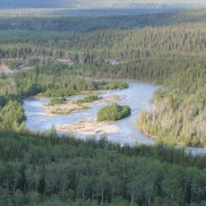
Klutina River
101.9 km
Tazlina River
98.9 km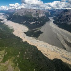
Nizina River
95.9 km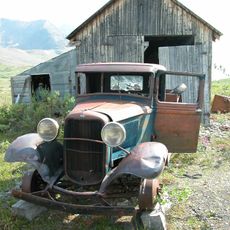
Bremner Historic Mining District
115.3 km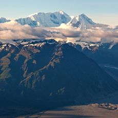
Aello Peak
130 km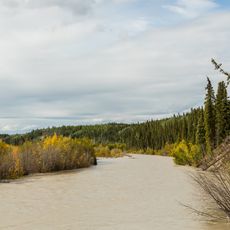
Slana River
100.1 km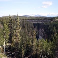
Kuskulana River
54.5 km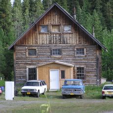
Slana Roadhouse
74.7 km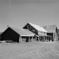
Gakona Historic District
77.7 km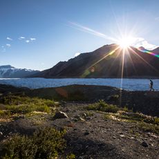
Root Glacier
69.8 km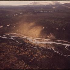
Tonsina River
85.5 km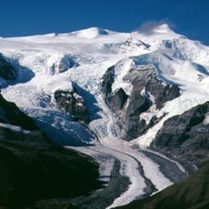
West Fork Glacier
72.8 km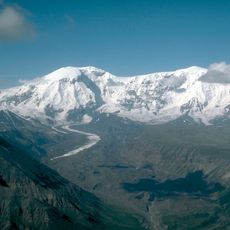
Jacksina Glacier
19.1 km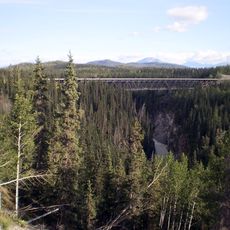
Kuskulana River Bridge
60.9 km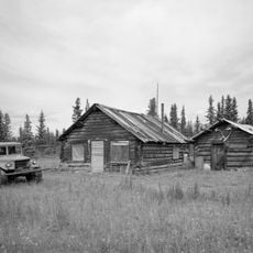
Chisana Historic District
97.9 kmDiscover hidden gems everywhere you go!
From secret cafés to breathtaking viewpoints, skip the crowded tourist spots and find places that match your style. Our app makes it easy with voice search, smart filtering, route optimization, and insider tips from travelers worldwide. Download now for the complete mobile experience.

A unique approach to discovering new places❞
— Le Figaro
All the places worth exploring❞
— France Info
A tailor-made excursion in just a few clicks❞
— 20 Minutes
