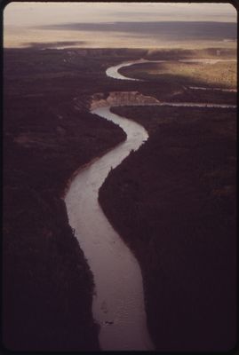
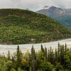
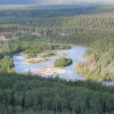
Tazlina River, Brook in Valdez-Cordova Census Area, Alaska, United States.
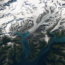
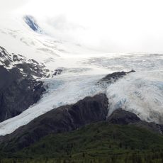
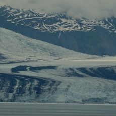
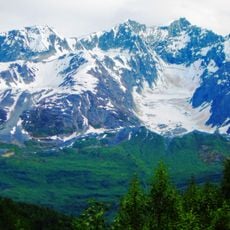
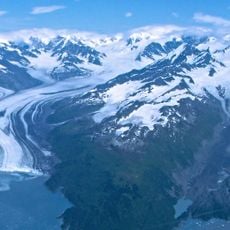
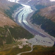
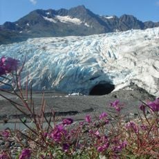
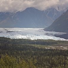
The Tazlina River is a glacial river in south-central Alaska that flows from Tazlina Lake down to the Copper River across about 30 miles of mountain terrain. The water carries sediment from glacial melt and creates shifting channels as it moves through steep valleys and open areas.
Russian explorers documented this river system during the 1800s as they mapped the coastal regions of Alaska and its inland waterways. The river later became an important route for people seeking gold and trading furs in the interior regions.
The river has long served as a fishing ground for local communities who rely on its salmon and grayling populations for food and subsistence. Today, people continue to use these waters as part of their connection to the landscape and natural resources of the region.
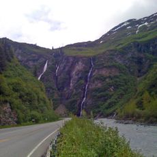
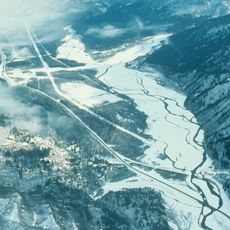
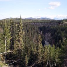
The river can be accessed from points along the Richardson Highway, which runs through the valley and provides several spots to reach the water. Water levels and speed change throughout the year, especially during warmer months when glacial melt is heaviest and the current becomes more powerful.
At a location called Oxbow Drop, the river creates challenging rapids that demand skill and caution from anyone traveling by boat or kayak. These rough sections form where the river makes a sharp bend and drops quickly, causing the water to churn and move unpredictably.
The community of curious travelers
AroundUs brings together thousands of curated places, local tips, and hidden gems, enriched daily by 60,000 contributors worldwide.