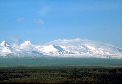
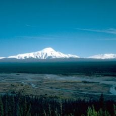
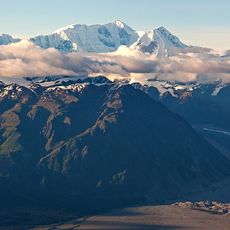
Mount Wrangell, Active stratovolcano in Wrangell-St. Elias National Park, Alaska, United States.
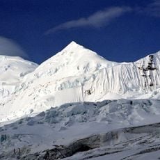
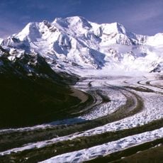
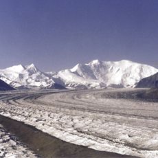
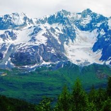
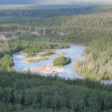
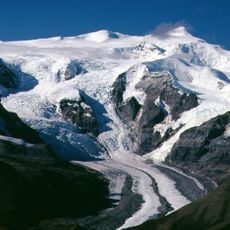
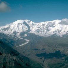
Mount Wrangell is an active stratovolcano in Wrangell-St. Elias National Park in Alaska with an ice-filled summit caldera and several geothermically active craters. The volcano rises to significant elevation and features a complex structure shaped by repeated eruptions over thousands of years.
The volcano experienced its last confirmed eruption roughly 2000 years ago, with earlier periodic volcanic episodes documented through geological evidence. This long period of quietude has shaped the mountain's current appearance and allowed ice to accumulate on its summit.
The Ahtna people call this volcano K'elt'aeni, meaning 'the one who controls the weather', showing how central it was to their understanding of nature. This name reflects their respect for the mountain's power and its role in shaping the land around them.
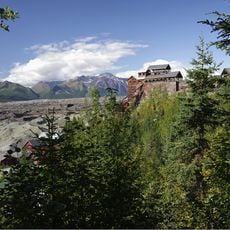
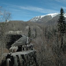
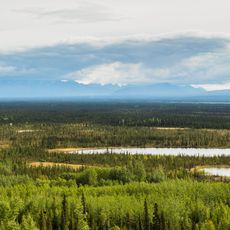
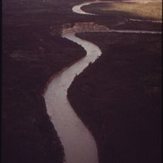
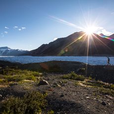
The mountain is difficult to reach due to its remote location and requires either aircraft transport or extended hiking through wild Alaskan terrain. Visitors should prepare for extreme weather and the challenges of traveling through an undeveloped landscape.
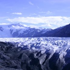
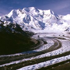
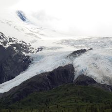
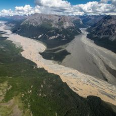
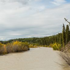
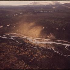
The volcano features enormous lava flows extending from its southwest slope, revealing how powerful and extensive volcanic activity was in the past. These massive geological formations tell the story of the mountain's eruptive history in ways that current observations cannot fully capture.
The community of curious travelers
AroundUs brings together thousands of curated places, local tips, and hidden gems, enriched daily by 60,000 contributors worldwide.