Nabesna Glacier, Valley glacier in Valdez-Cordova, Alaska, US
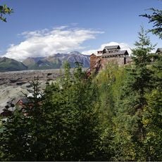
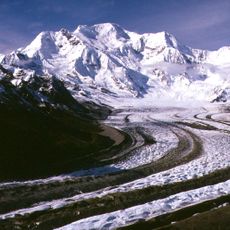
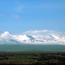
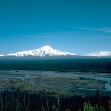
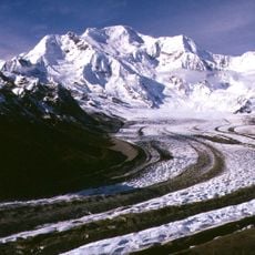
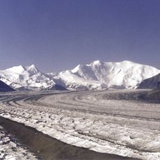
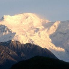
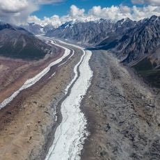
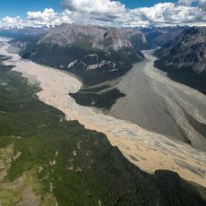
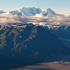
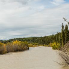
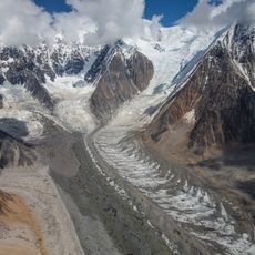
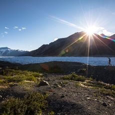
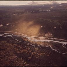
Nabesna Glacier is a 53-mile (85 km) valley glacier fed by heavy snowfall on the northern flanks of Mount Wrangell, a 14,163-foot shield volcano. It heads east past Mount Blackburn and Atna Peaks, then turns north to end at about 3,000 feet elevation, roughly 15 miles south of the old mining settlement of Nabesna. About 40 tributary glaciers feed it, and meltwater at its terminus forms the Nabesna River.
Geologist F.C. Schrader named this massive glacier after the nearby Nabesna River during an 1902 U.S. Geological Survey expedition. The exploration of this ice system at that time helped establish early knowledge of the glacial systems in the Wrangell Mountains.
The glacier serves as the primary entry point for mountaineers and researchers accessing the eastern section of the Wrangell Mountains.
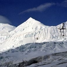
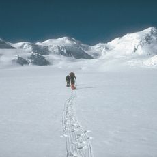
The central portion of the glacier is accessible to visitors during winter months via ski-equipped bush planes operated by local pilots. Elevation in this accessible area ranges between 6,000 and 7,000 feet, giving visitors an idea of the conditions they will encounter.
Glacial deposits far down the valley suggest Nabesna Glacier may once have been over 200 miles long, far beyond its present 53-mile course. Its slow, near-continuous retreat has been documented since at least the early 1900s.
The community of curious travelers
AroundUs brings together thousands of curated places, local tips, and hidden gems, enriched daily by 94,226 contributors worldwide.