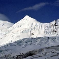
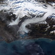
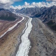
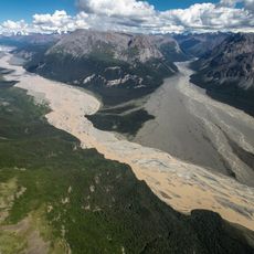
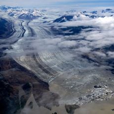
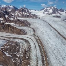
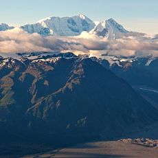
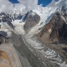
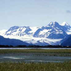
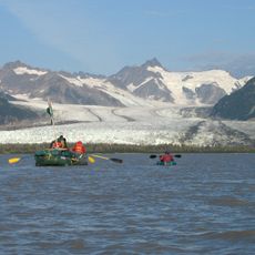
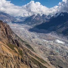
Bremner Historic Mining District, Historic mining district within Wrangell-St. Elias National Park and Preserve, Alaska, United States.
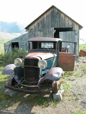
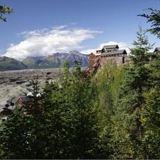
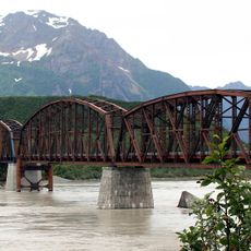
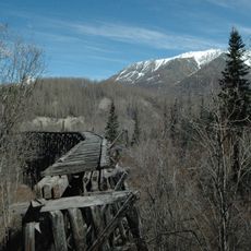
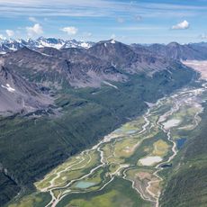
The district encompasses approximately 13,694 acres and contains well-preserved remnants of early 20th-century mining operations including residential buildings, processing mills, transportation infrastructure, and abandoned mining equipment scattered throughout the remote wilderness landscape.
Named after John Bremner who first prospected the area in 1884-1885, the district experienced significant development following the 1902 discovery of placer gold, with major mining operations continuing through the 1930s until abandonment around 1941.
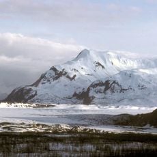
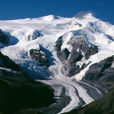
The site represents the frontier mining culture of early Alaska, showcasing the resourcefulness and determination of miners who established complete communities with housing, power systems, and transportation networks in one of America's most challenging environments.
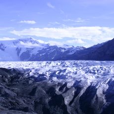
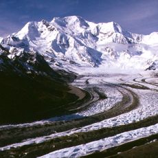
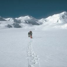
Located within Wrangell-St. Elias National Park, the district is accessible via USGS Topo Maps McCarthy A-7 SW and SE, and visitors can explore the preserved structures, mining equipment, and airstrips that remain intact from the 1930s operations.
The Yellow Band mining camp features one of Alaska's most complete historical mining sites, including an elaborate hydroelectric power system and buildings where canned goods still sit on shelves as if workers had just stepped away.
The community of curious travelers
AroundUs brings together thousands of curated places, local tips, and hidden gems, enriched daily by 60,000 contributors worldwide.