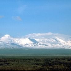
Atna Peaks, Eroded stratovolcano in Wrangell Mountains, Alaska, US
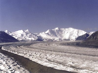
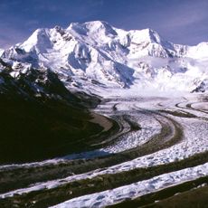
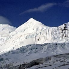
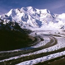
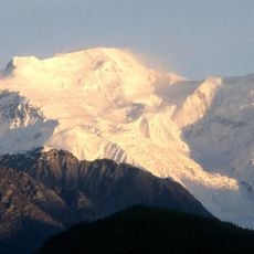
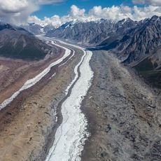
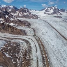
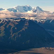
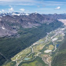
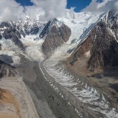
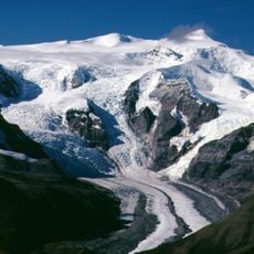
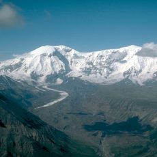
Atna Peaks is an eroded stratovolcano in the Wrangell Mountains with two distinct summits connected by a glacier-covered ridge. The highest point reaches roughly 13,860 feet and sits within Wrangell-Saint Elias National Park in Alaska.
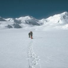
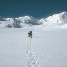
The stratovolcano formed as part of the volcanic activity in the Wrangell Mountains and was first summited in 1965 by members of the Mountaineering Club of Alaska. This early ascent marked the beginning of modern mountaineering exploration in this remote region.
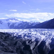
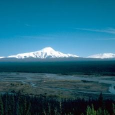
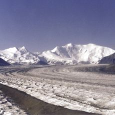
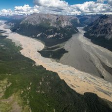
The name comes from a Native word referring to the Copper River, whose watershed begins at these peaks. Visitors can see this geographic connection to the river valley when looking at the location of the summits.
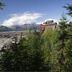
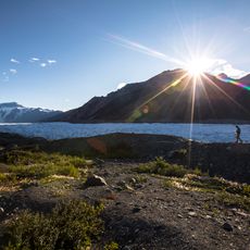
Reaching the summit requires advanced glacier climbing skills and proper ice safety equipment to navigate the terrain. Visitors should prepare for extreme altitude, harsh weather conditions, and lengthy travel time to access this remote location.
Multiple secondary peaks form a ridge line along the volcano, with the second summit standing somewhat lower and a third peak positioned even further east. This series of elevations reveals the volcanic origin that shaped the entire mountain mass.
The community of curious travelers
AroundUs brings together thousands of curated places, local tips, and hidden gems, enriched daily by 60,000 contributors worldwide.