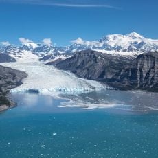
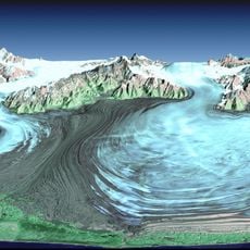
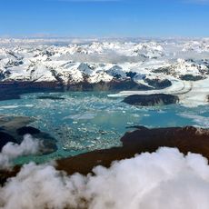
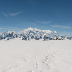
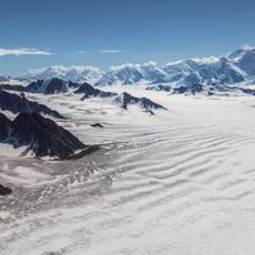
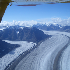
Russell Fiord, Fjord in Yakutat, Alaska, United States
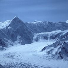
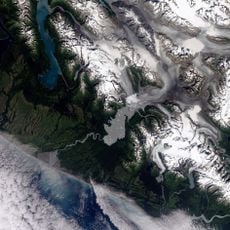
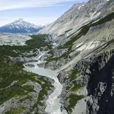
Russell Fiord is a fjord in the Panhandle of Alaska that runs about 50 km north to Disenchantment Bay, at the head of Yakutat Bay. It is roughly 3.5 km wide and is fed by Beasley Creek and Hidden Glacier; the Nunatak Fiord branches off to the right, fed by the East and West Nunatak glaciers.
The fjord was named in 1901 by Marcus Baker of the U.S. Geological Survey for explorer Israel Russell, who found the estuary in 1891 while exploring the Yakutat region. In 1980 the Alaska National Interest Lands Conservation Act designated 348,701 acres around it as the Russell Fiord Wilderness, managed by the U.S. Forest Service.
The fjord lies within the Russell Fiord Wilderness, designated in 1980 under the Alaska National Interest Lands Conservation Act and managed by the U.S. Forest Service. The 348,701-acre area is the strictest class of U.S. protected land, keeping human intervention to a minimum. The Wrangell-Saint Elias Wilderness borders it to the northwest.
There is no road to Russell Fiord; access is by boat or floatplane from Yakutat, about 60 km to the south, and the fjord is reached through Disenchantment Bay. The fjord runs roughly 50 km north-south and is about 3.5 km wide, with Nunatak Fiord branching off to the east. Hubbard Glacier can close the entrance at Gilbert Point, so check ice and glacier conditions before setting out.
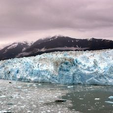
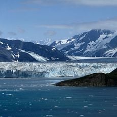
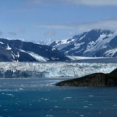
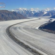
The fjord's mouth at Gilbert Point has been dammed by Hubbard Glacier more than once: it closed from May to October 1986 and again briefly in 2002. When the 2002 ice dam broke on 14 August, the resulting outburst flood was the second-largest glacier lake drainage ever documented by people.
The community of curious travelers
AroundUs brings together thousands of curated places, local tips, and hidden gems, enriched daily by 93,975 contributors worldwide.