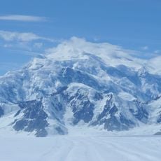
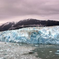
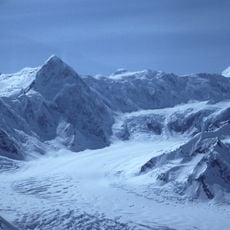
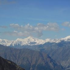
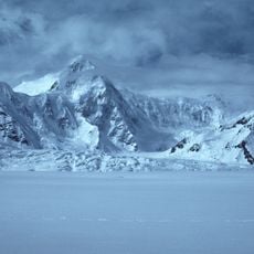
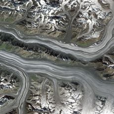
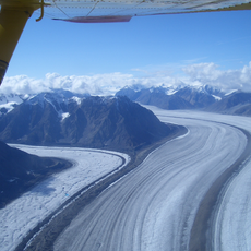
Kaskawulsh Glacier, Vast temperate glacier in Saint Elias Mountains, Canada.
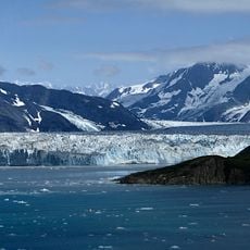
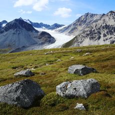
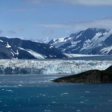
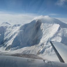
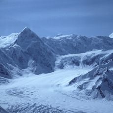
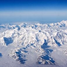
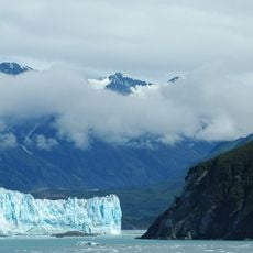
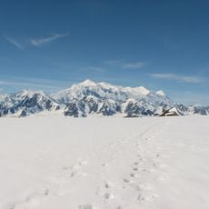
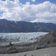
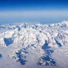
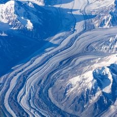
Kaskawulsh Glacier is a temperate valley glacier in the Saint Elias Mountains of Kluane National Park, Yukon, formed where the Central Arm and North Arm converge. At their junction it is 5 to 6 km wide, narrowing to 3–4 mi at its broadest downstream point. The Stairway Glacier and a south arm join it farther along, and it ends at the heads of the Slims and Kaskawulsh river valleys.
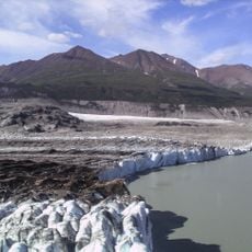
The Kaskawulsh reached its greatest Holocene extent around 1700–1750 and held it for about a century. Between 1977 and 2007 it lost 3.3–5.9 km³ of volume, thinning roughly 50 cm per year; from 2007 to 2018 losses reached about 46 km³, some 15 percent of its total volume. On 26 May 2016 its meltwater abruptly switched from the Slims River to the Kaskawulsh River.
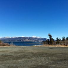
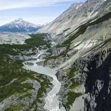
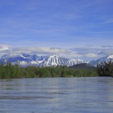
The glacier's meltwater feeds two drainage systems: the Slims River toward Kluane Lake and the Bering Sea, and the Kaskawulsh River toward the Alsek and the Gulf of Alaska. The 26 May 2016 switch left the Slims nearly dry, and Kluane Lake's level keeps falling, with researchers expecting it to become a lake without outflow.
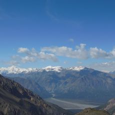
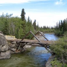
The glacier is best viewed from a distance, with a popular trail running along a riverbed toward the ice terminus. The region demands good preparation due to harsh conditions and rapidly changing weather.
In 2016, this glacier triggered a rare geological event when its meltwater redirected a river's course. Water that once flowed northward toward one ocean abruptly switched to flowing southward toward another ocean, a phenomenon known as river piracy.
The community of curious travelers
AroundUs brings together thousands of curated places, local tips, and hidden gems, enriched daily by 92,634 contributors worldwide.