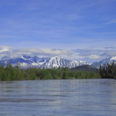
Aishihik River, Brook in southwestern Yukon, Canada.
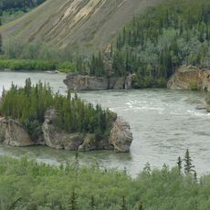
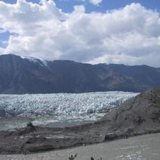
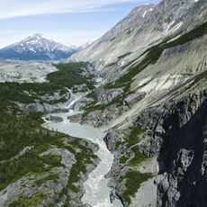
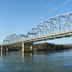
The Aishihik River drains Aishihik Lake through a roughly 2 km channel into the 11.8 km-long Canyon Lake, then drops over Otter Falls before joining the Dezadeash River. Its right tributary, the West Aishihik River, meanders for about 55 km through tight loops and oxbows. Near Canyon Creek, the Alaska Highway crosses the river beside a replica of an original wooden highway bridge.
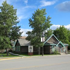
The Aishihik hydroelectric plant was built in 1975, drawing water from Canyon Lake through a 5.8 km surface canal to an underground station with a 175 m drop; two 15 MW turbines were joined by a 7 MW turbine in 2011. The Alaska Highway crosses the river at Canyon Creek, where a replica of one of the original wooden highway bridges stands.
The river's name comes from the Tlingit word Äsheyi, referring to where the river meets Aishihik Lake. The Alaska Highway crosses the river at Canyon Creek, a small outpost where a replica of one of the original wooden Alaska Highway bridges stands. The river is also known as Canyon Creek.
The Aishihik Road runs alongside the river and provides access to recreational areas throughout the region. The route connects to the Alaska Highway, making it accessible for day trips and exploration of the surrounding landscape.
Otter Falls, a notable water feature of the river, appeared on Canadian five-dollar bills printed in 1954. This recognition on currency highlighted the falls as a symbol of the region's natural value.
The community of curious travelers
AroundUs brings together thousands of curated places, local tips, and hidden gems, enriched daily by 94,019 contributors worldwide.