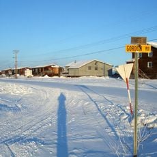
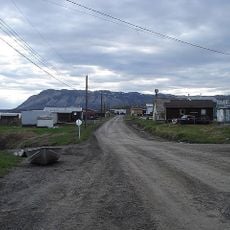
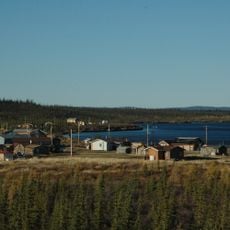
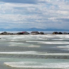
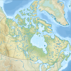
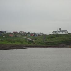
Pingo Canadian Landmark, National landmark near Tuktoyaktuk, Northwest Territories, Canada.
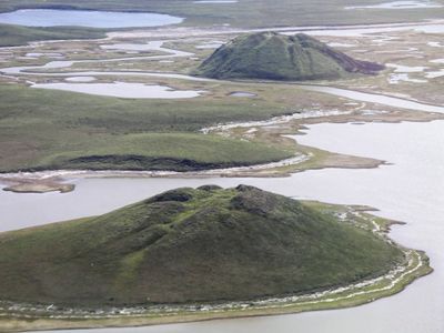
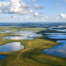
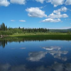
Pingo Canadian Landmark is a protected area near Tuktoyaktuk where eight natural ice-cored hills rise from the flat Arctic tundra landscape. These mounds form when water trapped beneath the surface freezes and expands, creating distinctive dome-shaped structures.
The site became a national landmark in 1984 through the Inuvialuit Final Agreement, a treaty that established cooperation between Canada's government and local indigenous administration. This agreement marked recognition of indigenous rights and knowledge in managing the region.
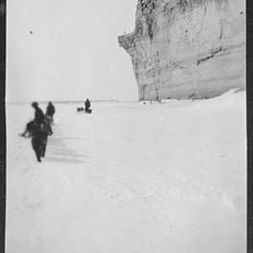
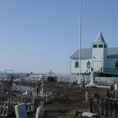
The word pingo comes from the Inuvialuit language and refers to the ice-filled mounds that local indigenous communities used as landmarks for navigation across the Arctic tundra. You can see how the site remains central to local identity and connection to the land.
A boardwalk with viewing platforms lets visitors observe the ice-cored hills while protecting the sensitive permafrost ground underneath. Plan for cold weather, uneven terrain, and bring appropriate Arctic clothing for your visit.
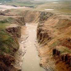
The Tuktoyaktuk region contains the highest concentration of these ice-cored formations found anywhere in the world, with hundreds present across the surrounding landscape. You can observe them at different growth stages, revealing how these unusual landforms develop over time.
Location: Northwest Territories
Inception: 1978
GPS coordinates: 69.39970,-133.08000
Latest update: December 6, 2025 17:41
The Yukon Territory contains natural areas and historical sites away from main routes. From sand dunes to canyons, gold rush towns and national parks in northern Canada. The region features natural phenomena like Emerald Lake, hot springs and glacier landscapes alongside museums and gold rush era historical sites.
Arctic National Wildlife Refuge
420 km
Dalton Highway
595.1 km
Dempster Highway
264.4 km
Aklavik
152.6 km
Midnight Sun Mosque
117.8 km
Tuktut Nogait National Park
453.7 km
Paulatuk
353.1 km
Ivvavik National Park
252 km
Tulita
595.8 km
Vuntut National Park
304.9 km
Tombstone Territorial Park
585.6 km
Aurora College
118.6 km
Mount Isto
421.9 km
Colville Lake
390 km
Church of Our Lady of Good Hope
396.7 km
Herschel Island-Qikiqtaruk Territorial Park
233.5 km
Kendall Island Migratory Bird Sanctuary
79.1 km
The Ramparts
395.9 km
Gallagher Flint Station Archeological Site
610.6 km
Biederman's Cabin
602.5 km
Sans Sault Rapids
449.9 km
Peters Glacier (Brooks Range)
465.9 km
Kandik River
552.6 km
Fort McPherson National Historic Site of Canada
230.3 km
Nagwichoonjik
218.5 km
McKinnon Territorial Park
534.5 km
Tombstone Park Viewpoint
587.2 km
Norman Wells A
531.2 kmReviews
Visited this place? Tap the stars to rate it and share your experience / photos with the community! Try now! You can cancel it anytime.
Discover hidden gems everywhere you go!
From secret cafés to breathtaking viewpoints, skip the crowded tourist spots and find places that match your style. Our app makes it easy with voice search, smart filtering, route optimization, and insider tips from travelers worldwide. Download now for the complete mobile experience.
A unique approach to discovering new places❞
— Le Figaro
All the places worth exploring❞
— France Info
A tailor-made excursion in just a few clicks❞
— 20 Minutes