Tuktut Nogait National Park, National park in Northwest Territories, Canada.
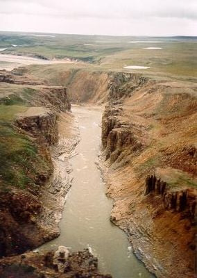
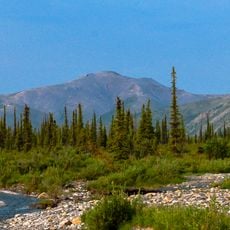
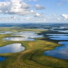
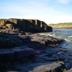
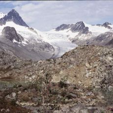
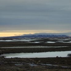
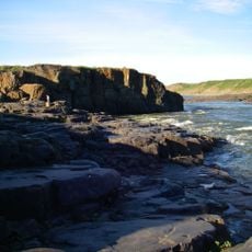
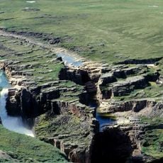
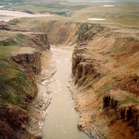
Tuktut Nogait National Park covers 18,890 km² in the Melville Hills of the Northwest Territories, about 170 km north of the Arctic Circle. The Hornaday, Brock and Roscoe rivers cut steep-walled canyons through terraced tan and ochre rock; the Hornaday carries pale sediment along the canyon floor. Grassy patches sit on the canyon rims above crumbling slopes.
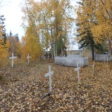
Tuktut Nogait was established as a national park in 1998. Humans have occupied the area since around AD 1000, and surveys have recorded over 400 archaeological sites, including campsites, food caches, graves and kayak rests; the oldest are likely Thule or Copper Inuit, from AD 1200 to 1500. Father Émile Petitot was the first European to reach the area in 1867–68, and the Canadian Arctic Expedition of 1913–1918 surveyed and mapped it.
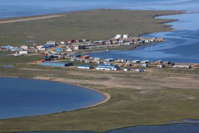
The park's name means "young caribou" in Inuvialuktun. Inuvialuit beneficiaries retain the right to harvest within the park under the Inuvialuit Final Agreement, mostly fishing Arctic char, hunting caribou and some trapping in the north-western part. Commercial and sport hunting are not permitted.
The park sits in a remote location north of the Arctic Circle where temperatures are extreme, reaching around 5°C in summer and dropping to about -26°C in winter. Visitors should prepare for harsh conditions and plan visits carefully, as distance and weather pose significant challenges.
Tuktut Nogait recorded only 12 visitors in the 2022–2023 fiscal year, fewer than all Canadian national parks except Sirmilik (6) and Quttinirpaaq (7). Access is usually by floatplane from Norman Wells or Inuvik, landing at lakes such as Uyarsivik Lake, Hornaday Lake or Seven Islands Lake.
The community of curious travelers
AroundUs brings together thousands of curated places, local tips, and hidden gems, enriched daily by 94,463 contributors worldwide.