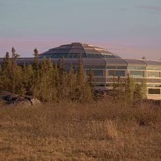
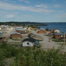
Behchokǫ̀, First Nations territorial hamlet in Northwest Territories, Canada
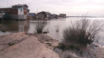
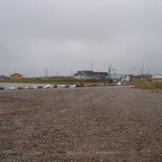
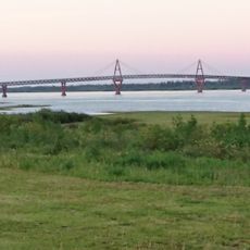
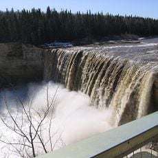
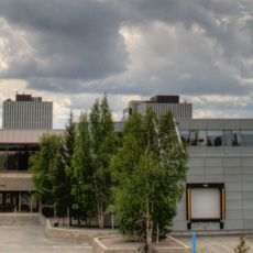
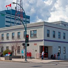
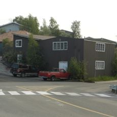
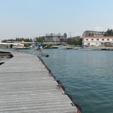
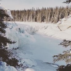
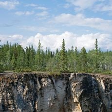
Behchokǫ̀ is a First Nations hamlet situated where Great Slave Lake's North Arm meets Marian Lake, comprising three distinct neighborhoods spread across the landscape. The settlement sits in a forested region interspersed with water bodies that shape how the community is organized and how people move through it.
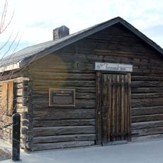
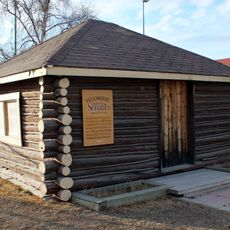
The Hudson's Bay Company established a trading post called Fort Rae in 1852, named after Scottish explorer John Rae whose expeditions mapped the northern region. In 2005, following a land claim agreement, the community officially adopted the name Behchokǫ̀, which means 'Big Knife' in the Tłı̨chǫ language.
The Tłı̨chǫ people keep their traditions alive through handmade crafts visible throughout the settlement: women create beaded jackets, mittens, and slippers that reflect skills passed down through generations. These works are woven into daily life and represent how the community expresses its identity and heritage.
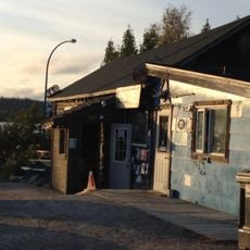
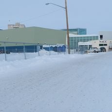
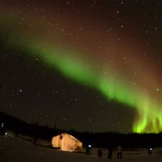
Highway 3 connects the settlement to Yellowknife, while seasonal ice roads provide winter access to neighboring communities. Visitors should prepare for extreme cold and allow extra time for travel, especially if heading to more remote areas.
The name Behchokǫ̀ means 'Big Knife' in the Tłı̨chǫ language, referencing a traditional tool significant to the region's past. Adopting this name after 2005 reflects how the community chose to emphasize and reclaim its indigenous identity.
The community of curious travelers
AroundUs brings together thousands of curated places, local tips, and hidden gems, enriched daily by 60,000 contributors worldwide.