·

Enable Location

We need your location to show you interesting places around you

Discover nearby places

Find interesting locations and hidden gems around you

Precise directions

Get accurate directions and distances to places

Your location is never shared with other users. It's only used when you tap the location button.

Kugluktuk

Log in to your account

Start exploring — it's free

Trusted by 62,749 travelers worldwide

Continue with Google
Continue with Apple
or

We will send you a code to connect

By continuing, you accept our Terms and Conditions and our Privacy Policy

Check your inbox

We've sent a pincode in your inbox. Please enter the code below.

Kugluktuk

Kugluktuk, Territorial hamlet at the mouth of Coppermine River in Kitikmeot Region, Canada

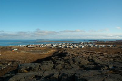
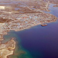
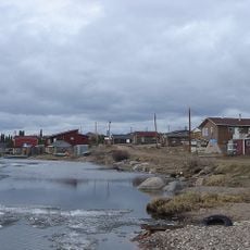
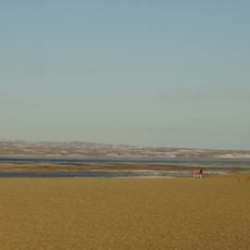
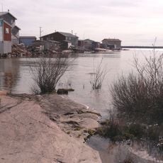
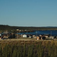
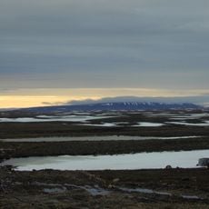
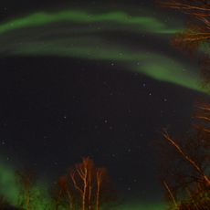
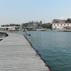
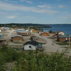
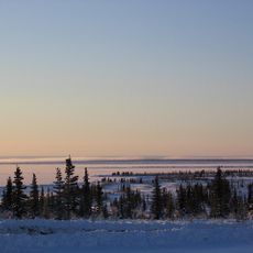
Kugluktuk is an Arctic settlement at the mouth of Coppermine River in the Kitikmeot Region, stretching along Coronation Gulf. Sitting at about 23 meters elevation, it marks the westernmost community of Nunavut near the Northwest Territories border.

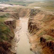
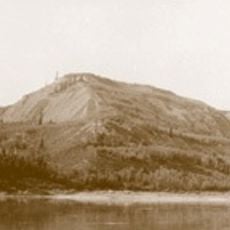
British expeditions explored the region in the early 1800s, documenting the waterways and resources around Coppermine River. Later, Peter Warren Dease and Thomas Simpson explored the river valley in the 1830s and contributed to early mapping of the area.

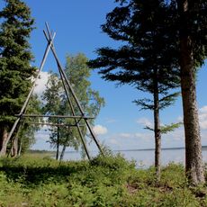
The settlement's name comes from the Inuinnaqtun language, meaning 'place of moving water,' and the 1996 renaming from Coppermine reflected a reconciliation between Dene and Inuit communities living here.

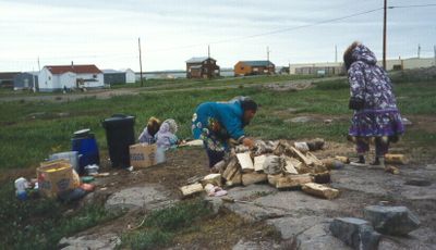
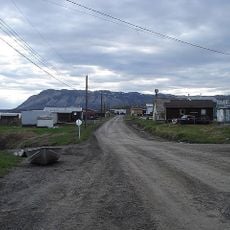
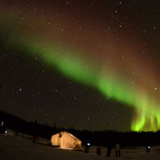
The village sits on an exposed coastline with harsh weather for much of the year, so sturdy footwear and warm clothing are essential. Navigation within the settlement is straightforward since buildings cluster mainly along the shoreline.

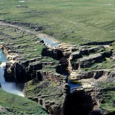
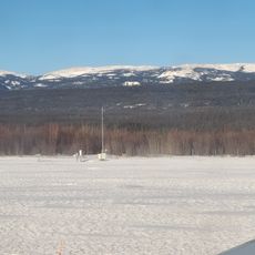
The Coppermine River valley creates a microclimate allowing stunted trees to grow north of the typical Arctic tree line. Visitors can spot this unexpected forest formation and witness a rare botanical feature of the far north.

The community of curious travelers

AroundUs brings together thousands of curated places, local tips, and hidden gems, enriched daily by 60,000 contributors worldwide.

Start exploring
Location
Elevation above the sea
23 m
GPS coordinates
67.82556,-115.09500
Latest update
December 17, 2025 10:18
« Kugluktuk - Territorial hamlet at the mouth of Coppermine River in Kitikmeot Region, Canada » is provided by Around Us (aroundus.com). Images and texts are derived from Wikimedia project under a Creative Commons license. You are allowed to copy, distribute, and modify copies of this page, under the conditions set by the license, as long as this note is clearly visible.

Discover hidden gems everywhere you go!

From secret cafés to breathtaking viewpoints, skip the crowded tourist spots and find places that match your style. Our app makes it easy with voice search, smart filtering, route optimization, and insider tips from travelers worldwide. Download now for the complete mobile experience.

Around Us App Screenshot

A unique approach to discovering new places

Le Figaro

All the places worth exploring

France Info

A tailor-made excursion in just a few clicks

20 Minutes

Around Us
Travel Guide & Maps
Download

Send to your phone

QR Code
1

Open the camera app on your mobile.

2

Point at the QR code with your camera. A notification will appear.

3

Tap the notification to open the link.