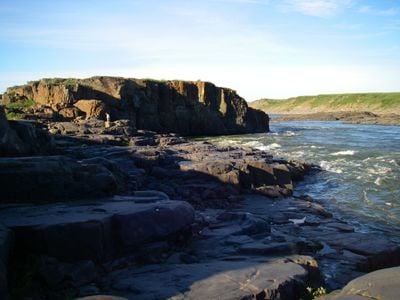
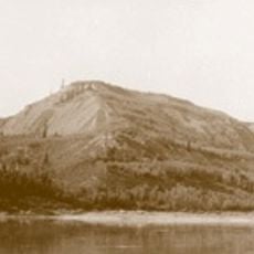
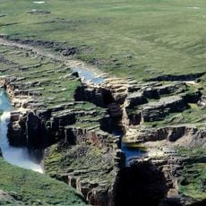
Bloody Fall, Territorial waterfall in Kugluktuk, Canada.
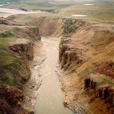
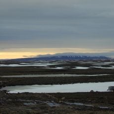
Bloody Fall is a waterfall on the Coppermine River in Kugluktuk with strong rapids and swirling currents formed where the river flows through Arctic tundra landscape. The site spans about 25 acres and shows the raw power of the subarctic river system.
The name was given in 1771 when British explorer Samuel Hearne documented a conflict between Dene warriors and Inuit fishermen at this location. This record marks when European accounts of the area first began.
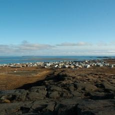
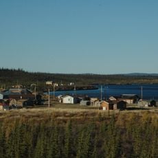
The name comes from the Inuinnaqtun word Onoagahiovik, meaning 'the place where you stay all night', reflecting its role as a traditional fishing ground. For local Inuit and other groups in the region, this site served as an important gathering point for generations.
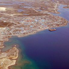
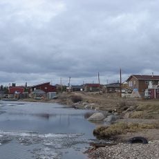
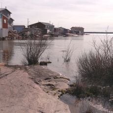
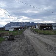
You can reach the location by motorboat in about 45 minutes, by all-terrain vehicle in two hours, or on foot along a five-hour hiking trail from Kugluktuk. The terrain is rough and conditions depend heavily on weather and season.
Archaeological finds show human settlement at this location for roughly 3000 years, with traces of Pre-Dorset, Thule, First Nation, and Inuit cultures. The layers of earth tell a story of long human activity in this remote Arctic region.
The community of curious travelers
AroundUs brings together thousands of curated places, local tips, and hidden gems, enriched daily by 60,000 contributors worldwide.