Nunavut, Territory in northern Canada
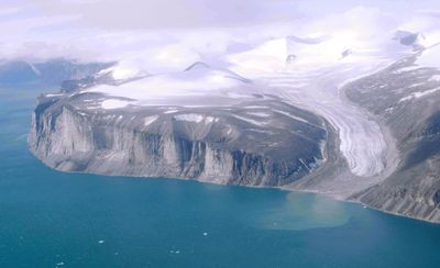
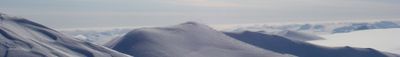
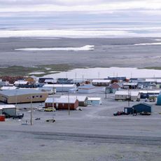
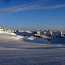
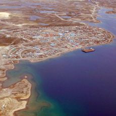
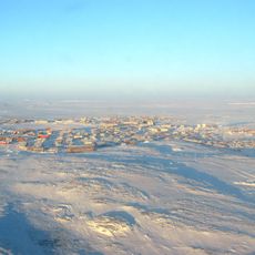
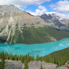
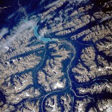
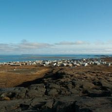
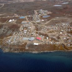
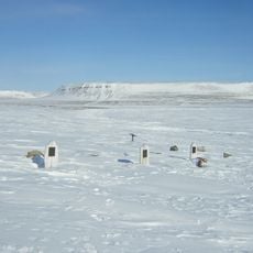
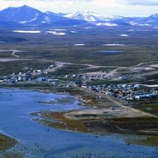
Nunavut is a territory in northern Canada that extends across the Canadian Arctic Archipelago and includes numerous islands, with tundra, mountains, and frozen waters as the prevailing landscape forms. The sparsely inhabited region lies mostly above the tree line, where the sun does not set for weeks during summer and does not rise for weeks during winter.
The Northwest Territories were divided into two regions on April 1, 1999, creating Nunavut as a separate territory to grant self-governance to Inuit populations. This division was the result of decades of negotiations between the Canadian government and Inuit representatives regarding land rights and political autonomy.
The Inuit language Inuktitut is spoken in daily life and appears on public signs alongside English and French, showing visitors the importance of indigenous traditions. In many communities, you can find traditional crafts such as soapstone carvings and fur clothing made by local artisans who have passed down their skills through generations.
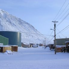
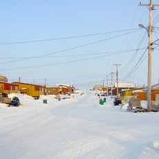
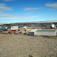
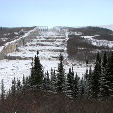
The territory experiences winter temperatures of minus 35 degrees Celsius, requiring specialized cold-weather equipment and careful travel planning. Visitors should expect limited road connections, as most communities are accessible only by plane or by boat during summer.
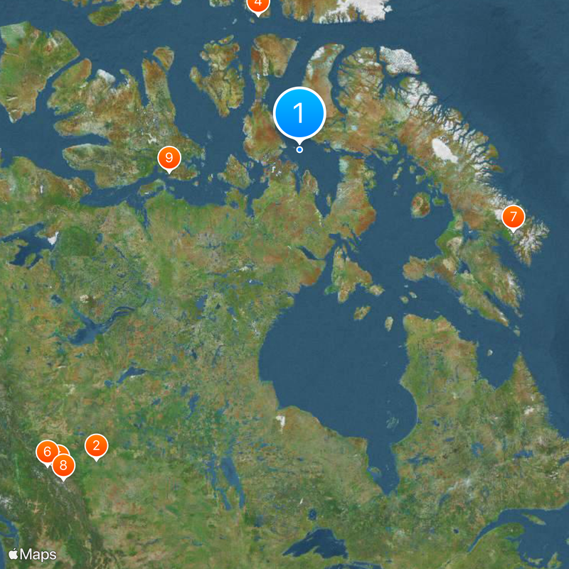
The territory spans three time zones, so travelers must adjust their clocks multiple times when flying between different communities. The capital Iqaluit is closer to London than to Vancouver, illustrating the unusual geographic reach of this region.
The community of curious travelers
AroundUs brings together thousands of curated places, local tips, and hidden gems, enriched daily by 60,000 contributors worldwide.