Mount Robson, Mountain in British Columbia, Canada
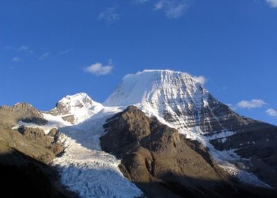
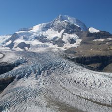
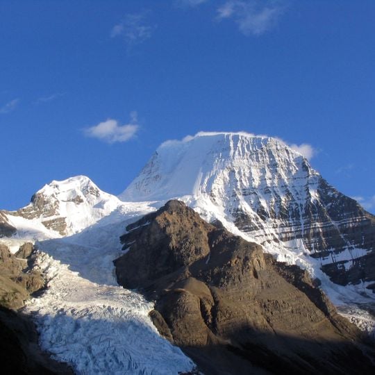
Mount Robson stands at 3,954 meters (12,972 feet) and is the tallest summit in the Canadian Rockies, rising above glaciated slopes and rugged rock walls in British Columbia. Its peak is often wrapped in cloud, while the north face is shaped by steep ice fields and an active glacier.
Mount Robson was first surveyed in 1893 by James McEvoy, who determined it to be the highest peak in the Canadian Rockies. The first documented ascent was made on 31 July 1913 by Albert MacCarthy, Conrad Kain and William Wasbrough Foster, during an Alpine Club of Canada expedition that used the new Grand Trunk Pacific railway. Kain's route follows the Robson Glacier to the upper northeast face and the summit ridge. George Kinney's claimed 1909 ascent with Donald "Curly" Phillips is now generally thought to have stopped at the final ice dome.
The Secwepemc call this mountain Yexyexéscen, a name that refers to the striped rock layers visible from a distance. These bands of light and dark stone run across the north face, giving the summit its recognizable appearance.
Only around one in ten attempts to reach the summit succeeds, as storms and snowfall can arrive even in summer. Visitors who prefer hiking without climbing will find trails around Berg Lake that lead close to the glaciers.
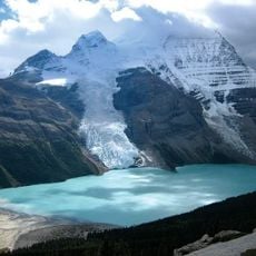
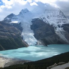
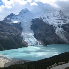
The Berg Glacier flows directly into Berg Lake at 1,646 meters (5,400 feet), so ice blocks calve from the glacier and drift across the water. Visitors can watch from the shore as freshly broken ice chunks move through the lake.
The community of curious travelers
AroundUs brings together thousands of curated places, local tips, and hidden gems, enriched daily by 92,633 contributors worldwide.