Mount Robson Provincial Park, Provincial park in British Columbia, Canada
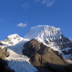
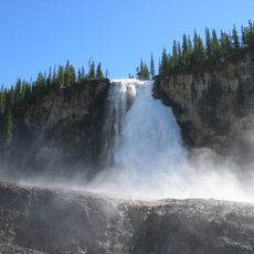
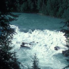
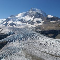
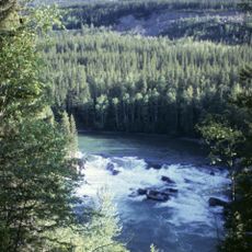
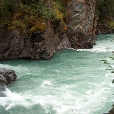
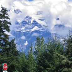
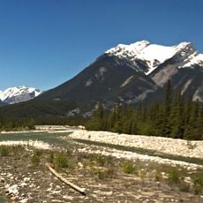
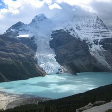
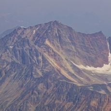
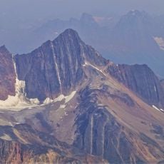
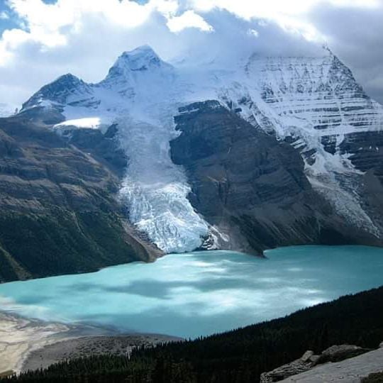
Mount Robson Provincial Park covers 2,249 km² along the British Columbia–Alberta border, adjoining Jasper National Park. It surrounds Mount Robson, at 3,954 m the highest peak in the Canadian Rockies, and holds Moose Lake, over 11 km long, plus Yellowhead, Whitney and Berg lakes. The Fraser River rises in the park's southwest and drops over the 9 m Overlander Falls.
The British Columbia Legislature created Mount Robson Provincial Park in 1913, making it the second-oldest park in the provincial system after Strathcona (1911). That same year, a party led by Conrad Kain made the first ascent of Mount Robson. In 1990 the park joined the Canadian Rocky Mountain Parks UNESCO World Heritage Site.
The park's name comes from Mount Robson, the highest peak in the Canadian Rockies. The mountain was first climbed in 1913 by a party led by Conrad Kain, the same year the park was created. The Berg Lake Trail, built by outfitter Donald "Curly" Phillips in 1913, leads to Berg Lake.
The park offers hiking trails and campgrounds along Yellowhead Highway, especially from May through September. Visitors should prepare for changing mountain weather and varying terrain difficulty levels.
The Fraser River begins not at a lake but at a dripping spring just west of a pond at Fraser Pass, 40 km south of the Yellowhead Highway at Lucerne Campground. No trail reaches it; the usual access is by helicopter from Valemount. From this trickle, British Columbia's longest river runs 1,200 km to the sea.
The community of curious travelers
AroundUs brings together thousands of curated places, local tips, and hidden gems, enriched daily by 94,114 contributors worldwide.