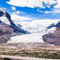
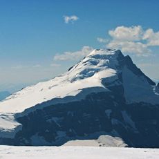
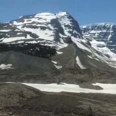
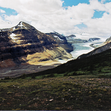
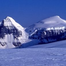
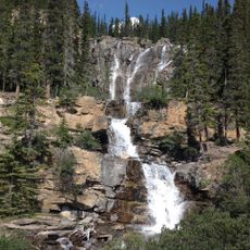
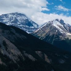
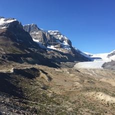
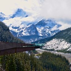
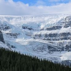
Columbia Icefield, Ice field in Jasper National Park, Alberta, Canada
Columbia Icefield is an ice field astride the Continental Divide on the British Columbia–Alberta border, lying partly in the northwestern tip of Banff National Park and partly in the southern end of Jasper National Park. It covers about 325 square kilometres, is 100 to 365 metres deep and receives up to 7 metres of snow a year. It feeds six major glaciers, among them the Athabasca, Castleguard, Columbia, Dome, Stutfield and Saskatchewan glaciers.
The ice field was among the last major features of western Canada recorded by Europeans. In April 1827 David Douglas crossed Athabasca Pass and climbed a nearby peak, reporting it at 6,000 m. In 1884 Arthur Philemon Coleman searched the Great Divide for that peak and found the route of the future Icefields Parkway. On 18 August 1898 J. Norman Collie and Hermann Woolley reached the summit of Mount Athabasca and saw the ice field stretching to the horizon.
The name comes from the Columbia River, whose headwaters rise in the ice field. The ice sits on the Continental Divide, so meltwater runs north to the Arctic Ocean, east to Hudson Bay and south to the Pacific. Since 1898 the Athabasca Glacier has been a destination for guided parties; today Ice Explorer buses carry visitors onto its surface in summer.
Specialized vehicles bring visitors onto the surface of Athabasca Glacier between May and October, where you can walk on the ice. The Icefields Parkway runs directly past the ice field and offers several viewpoints with views of glacier tongues and mountain peaks.
The ice at this triple continental divide splits and flows simultaneously toward the Arctic Ocean, Hudson Bay, and Pacific Ocean. Snowflakes falling here could theoretically end up in three completely separate seas after decades.
The community of curious travelers
AroundUs brings together thousands of curated places, local tips, and hidden gems, enriched daily by 94,092 contributors worldwide.