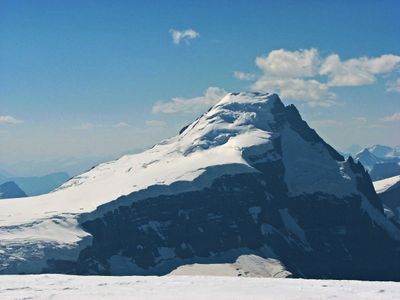
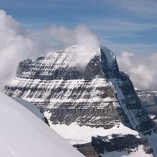
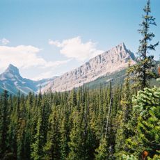
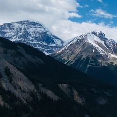
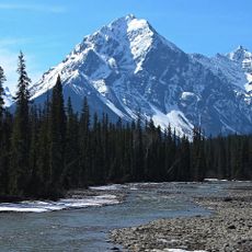
Mount Columbia, Summit in Canadian Rocky Mountains, Alberta
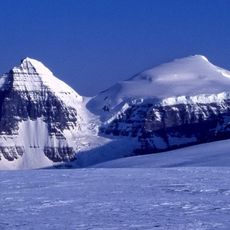
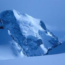
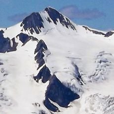
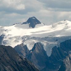
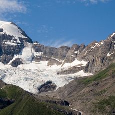
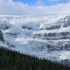
Mount Columbia reaches 3,747 meters (12,293 feet) at the northern edge of the Columbia Icefield, making it Alberta's highest point. The glacier surrounding the peak shapes the entire approach and defines the mountain's character.
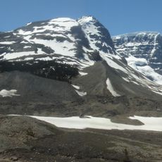
James Outram made the first recorded ascent in 1902, climbing with guide Christian Kaufmann via the eastern glacier route. This early expedition became a landmark moment in the exploration of Canada's highest peaks in the region.
The mountain takes its name from the Columbia River, a reference chosen in 1898 that connects this peak to early North American exploration. Local guides and mountaineers speak of it as a landmark tied to the region's broader geographic heritage.
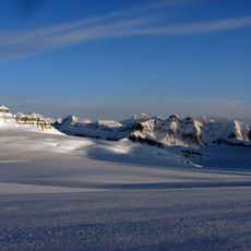
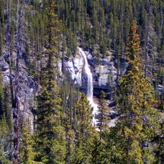
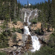
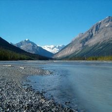
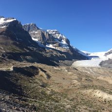
The eastern route across the glacier is non-technical and accessible during summer months, with an approach walk of around 19 kilometers from the trailhead. Conditions on the ice can change quickly, so proper equipment and weather awareness are essential.
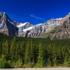
The mountain shows sedimentary rock layers spanning from Precambrian to Jurassic times, pushed eastward during the Laramide mountain-building event millions of years ago. This geological story is readable in the rock faces and reveals the enormous forces that shaped the region.
The community of curious travelers
AroundUs brings together thousands of curated places, local tips, and hidden gems, enriched daily by 60,000 contributors worldwide.