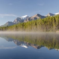
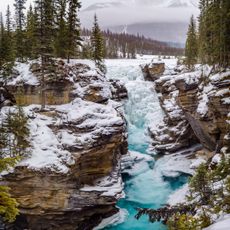
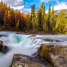
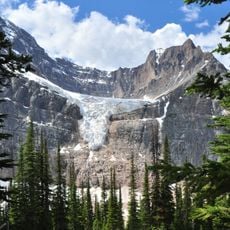
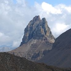
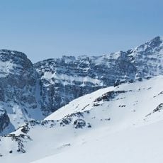
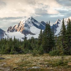
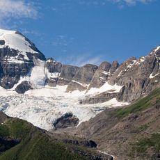
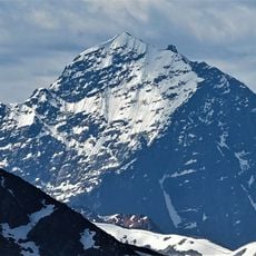
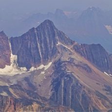
Geraldine Peak, Mountain summit in Jasper National Park, Alberta, Canada
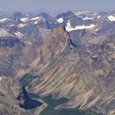
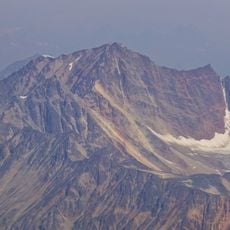
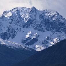
Geraldine Peak is a 2,930-metre summit at the northern end of the ridge dividing Geraldine Lakes and Geraldine Creek from the Whirlpool River in Jasper National Park's Athabasca River valley. It is composed of sedimentary rock laid down from the Precambrian to Jurassic periods and pushed east over younger rock during the Laramide orogeny. The nearest higher peak is Mount Fryatt, 7.0 km to the south-southeast.
The peak was named after nearby Geraldine Lakes and Geraldine Creek in the region. Local inhabitants referred to it by an alternative name reflecting geographic features in the area.
The peak has no officially adopted name; the labels Geraldine Peak, Whirlpool Mountain and Mount Geraldine all come from its position at the north end of the ridge dividing Geraldine Lakes and Geraldine Creek from the Whirlpool River. The names appear on maps and in climbing notes rather than in an official gazetteer.
Reaching the summit requires advanced mountaineering skills and specialized gear, particularly when cold temperatures make conditions harsh. Visitors should be prepared for loose rock and changing weather before attempting the climb.
No name has been officially adopted for the peak; maps and climbers use Geraldine Peak, Whirlpool Mountain and Mount Geraldine, all taken from the lakes, creek and river around it. It stands 7.0 km north-northwest of Mount Fryatt, its nearest higher summit, and is visible from the Icefields Parkway near Athabasca Falls.
The community of curious travelers
AroundUs brings together thousands of curated places, local tips, and hidden gems, enriched daily by 92,638 contributors worldwide.