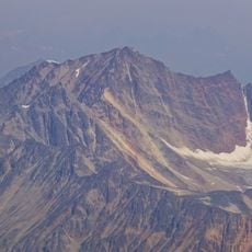
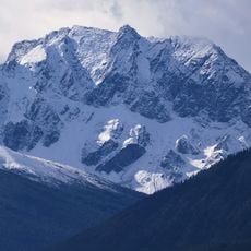
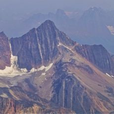
Hamber Provincial Park, Provincial park in Columbia-Shuswap Regional District, Canada.
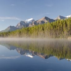
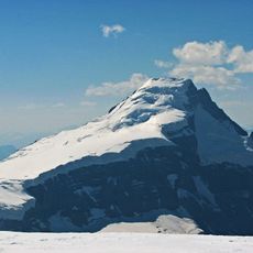
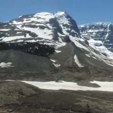
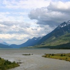
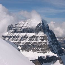
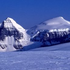
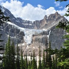
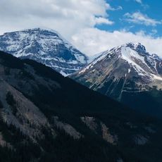
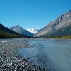
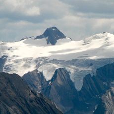
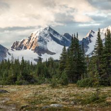
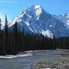
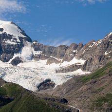
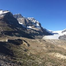
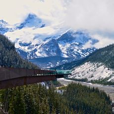
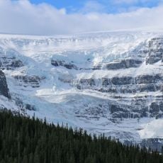
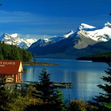
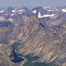
Hamber Provincial Park protects 24,518 hectares around Fortress Lake, where the Wood River rises. Fortress Pass, at 1,335 m the lowest roadless crossing of the Canadian Rockies, is the park's lowest point; Chisel Peak reaches 3,046 m. Engelmann spruce and subalpine fir forests cover the slopes, with alpine tundra above.
Established on 16 September 1941 by an Order in Council of Premier Thomas Dufferin Pattullo, the park was named for Lieutenant-Governor Eric W. Hamber and covered about 1,009,112 hectares, one of Canada's largest protected areas. Pattullo hoped it would become a national park, but Ottawa showed no interest. Redesignated Class B in 1945, it was cut by 98% in 1961–62 to 24,518 hectares around Fortress Lake after logging pressure and the Mica Dam project rerouted the Trans-Canada Highway through Rogers Pass.
The park lies within the traditional territory of the Ktunaxa and Secwépemc peoples, who hunted, fished and gathered in these mountains. The name honours Eric W. Hamber, lieutenant-governor of British Columbia from 1936 to 1941. Since 1990 the park has formed part of the Canadian Rocky Mountain Parks UNESCO World Heritage Site.
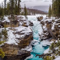
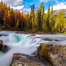
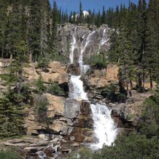
Access requires a challenging 22-kilometer hike from Sunwapta Falls in Jasper National Park or arrival by floatplane to Fortress Lake, with no road access, developed facilities, or established campgrounds available to visitors.
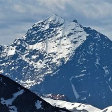
The park's lowest point is Fortress Pass at 1,335 m, one of the lowest roadless and rail-less passes across the Canadian Rockies. Its highest is Chisel Peak at 3,046 m. Two small caves, 15 to 87 m deep, lie in the upper Alnus Creek watershed.
The community of curious travelers
AroundUs brings together thousands of curated places, local tips, and hidden gems, enriched daily by 92,841 contributors worldwide.