Enable Location

We need your location to show you interesting places around you

Discover nearby places

Find interesting locations and hidden gems around you

Precise directions

Get accurate directions and distances to places

Your location is never shared with other users. It's only used when you tap the location button.

Kinbasket Lake

Log in to your account

Start exploring — it's free

Trusted by 62,281 travelers worldwide

Continue with Google
Continue with Apple
or

We will send you a code to connect

By continuing, you accept our Terms and Conditions and our Privacy Policy

Check your inbox

We've sent a pincode in your inbox. Please enter the code below.

Kinbasket Lake

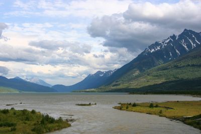
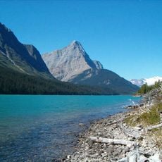
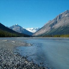
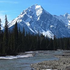
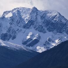
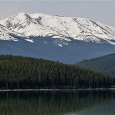
Kinbasket Lake, Reservoir in British Columbia, Canada.

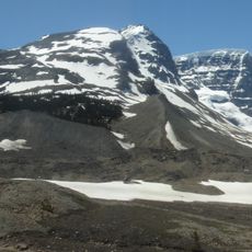
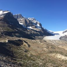
Kinbasket Lake is a reservoir in the Columbia River valley in British Columbia, divided into two main sections: Columbia Reach in the south and Canoe Reach in the north. The water stretches between mountains that form the valley's framework and create narrow water passages.

The reservoir came into existence after the Mica Dam was completed in 1973, flooding several small settlements including Boat Encampment and Beavermouth. The dam construction was a major project that permanently changed the valley's landscape.

The water body takes its name from Chief Kinbasket of the Shuswap people, connecting the place to Indigenous history in the valley. This naming reflects the region's long relationship with First Nations communities.

The water is rich with fish, particularly kokanee salmon and rainbow trout, which are present throughout the year. Visitors interested in fishing can explore both sections of the reservoir and should check local conditions before heading out.

The water body was originally called McNaughton Lake until 1980, when it received its current name. This renaming recognized the area's connection to local Indigenous heritage.

The community of curious travelers

AroundUs brings together thousands of curated places, local tips, and hidden gems, enriched daily by 60,000 contributors worldwide.

Start exploring
Location
Elevation above the sea
729 m
GPS coordinates
52.13333,-118.45000
Latest update
December 8, 2025 13:44
« Kinbasket Lake - Reservoir in British Columbia, Canada » is provided by Around Us (aroundus.com). Images and texts are derived from Wikimedia project under a Creative Commons license. You are allowed to copy, distribute, and modify copies of this page, under the conditions set by the license, as long as this note is clearly visible.

Discover hidden gems everywhere you go!

From secret cafés to breathtaking viewpoints, skip the crowded tourist spots and find places that match your style. Our app makes it easy with voice search, smart filtering, route optimization, and insider tips from travelers worldwide. Download now for the complete mobile experience.

Around Us App Screenshot

A unique approach to discovering new places

Le Figaro

All the places worth exploring

France Info

A tailor-made excursion in just a few clicks

20 Minutes

Around Us
Travel Guide & Maps
Download

Send to your phone

QR Code
1

Open the camera app on your mobile.

2

Point at the QR code with your camera. A notification will appear.

3

Tap the notification to open the link.