Chaba River, River tributary in Alberta, Canada
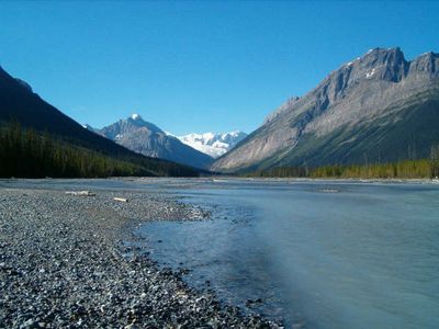
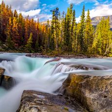
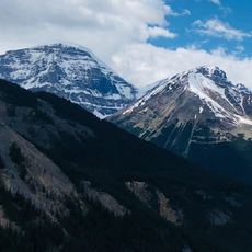
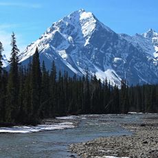
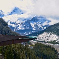
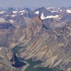
The Chaba is a river that originates in the Canadian Rockies and flows through western Alberta before meeting the Athabasca River. Along its course, glacier-fed streams combine to create a water system that cuts through mountain terrain.
A geologist named the river using a Stoney Indian word for beaver, having noticed abundant beaver dams throughout the area during exploration. This name choice reflects early observations of the landscape by those who first mapped the region.
The waterway held deep meaning for First Nations peoples, where beaver activity shaped both daily life and spiritual beliefs. This connection to the land remains central to how indigenous communities view the region.
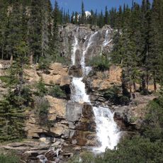
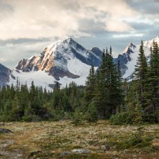
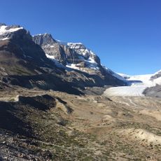
A marked trail follows the river to crossing points and peaceful spots along the banks, with a small camping area providing basic facilities for visitors. The ground can be uneven and sometimes muddy, so sturdy footwear and reasonable fitness help make the walk easier.
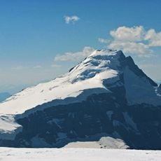
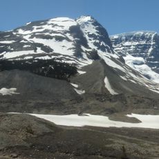
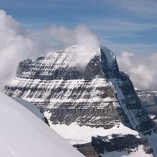
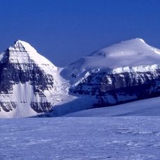
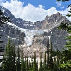
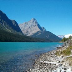
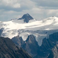
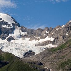
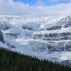
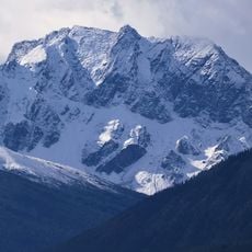
Water reaches the river not only from snowmelt but also directly from a glacier on a neighboring mountain, which affects the water temperature and color throughout the year. This glacier-fed input keeps the river cold and sometimes gives it a striking turquoise tone.
The community of curious travelers
AroundUs brings together thousands of curated places, local tips, and hidden gems, enriched daily by 60,000 contributors worldwide.