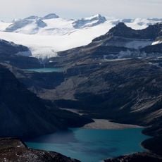
Howse Pass, Mountain pass and national historic site in Columbia-Shuswap Regional District, Canada.
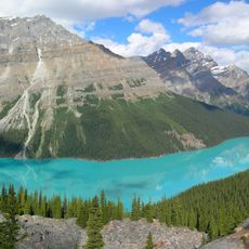
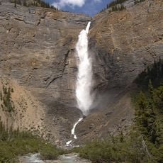
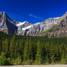
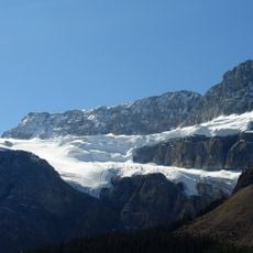
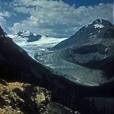
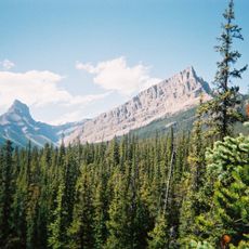
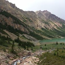
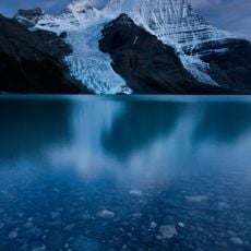
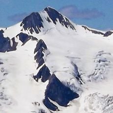
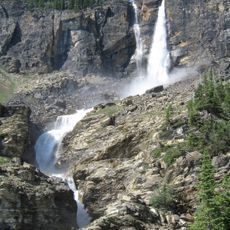
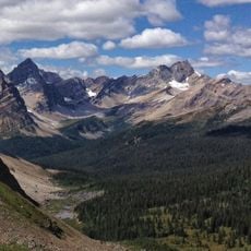
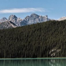
Howse Pass is a mountain crossing in the Canadian Rocky Mountains that links Alberta and British Columbia at around 5,050 feet (1,539 meters) above sea level. It runs between Mount Conway and Howse Peak, with water draining east through Conway Creek and west through the Blaeberry River system.
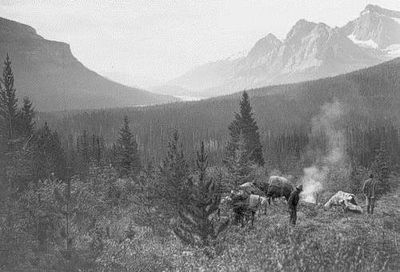
David Thompson crossed this pass in 1807 while working for the North West Company, opening a fur trade route between the eastern and western sides of the Rockies. That crossing later led to the pass being recognized as a national historic site of Canada.
Long before European explorers arrived, the Kootenay from the west and the Peigan from the east used this corridor as a trade route. Hikers today walk the same ground that connected these two communities across the mountains for generations.
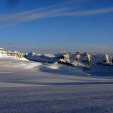
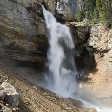
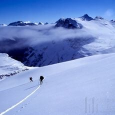
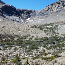
The terrain is demanding and requires mountain hiking experience along with proper gear for weather that can change quickly. Visiting during the warmer months, when snow has largely melted, gives the most stable conditions on the ground.
Even though this pass sits lower than several other crossings in the Rockies, the builders of the Canadian Pacific Railway did not choose it for their line. They picked Kicking Horse Pass instead, showing that elevation alone did not decide where the tracks would go.
The community of curious travelers
AroundUs brings together thousands of curated places, local tips, and hidden gems, enriched daily by 60,000 contributors worldwide.