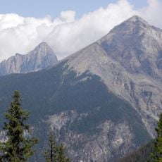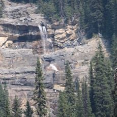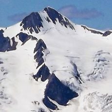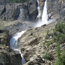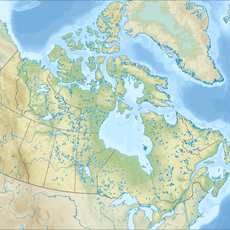
Great Divide Trail, long-distance hiking trail in the Canadian Rockies, Alberta, Canada
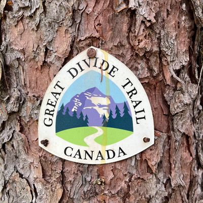
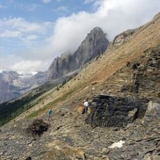
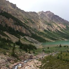
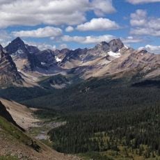
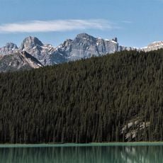
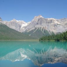
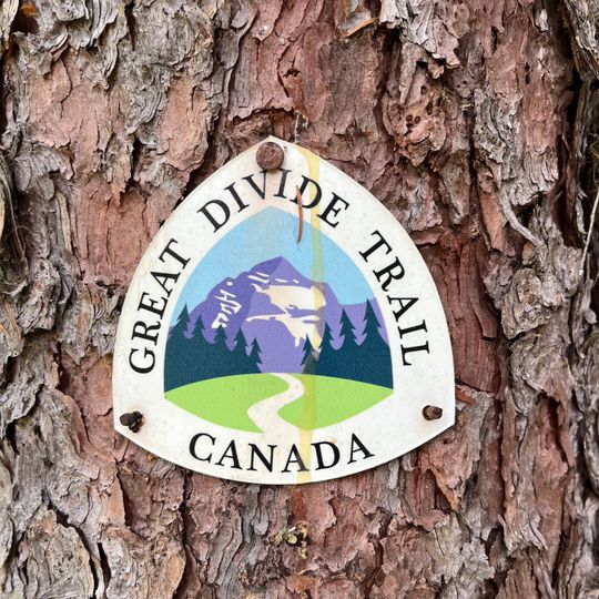
The Great Divide Trail is a 1,095 km (680 mi) hiking route through the Canadian Rockies, linking trails, roads and wilderness routes along the Alberta–British Columbia border. It crosses the Great Divide more than 30 times between the Canada–US border and Kakwa Lake, ranging from 1,055 m to 2,590 m in elevation. A shield-shaped sign on a tree marks the trail with the words "GREAT DIVIDE TRAIL" and "CANADA".
The idea dates to 1966, when the Girl Guides of Canada proposed a trail along the BC–Alberta border. Jim Thorsell published a provisional guide in 1970, and University of Calgary students mapped the southern route in 1974. The Great Divide Trail Association, founded in April 1976, built 90 km before work stalled; Dustin Lynx's 2000 guidebook revived the project.
This route is designed for experienced hikers and requires careful planning plus proper gear for harsh mountain conditions. Many sections pass through areas with no facilities or supply stops.
The trail crosses the Alberta–British Columbia divide more than 30 times, and its southern end meets the Continental Divide Trail at the Canada–US border. Fewer than 100 people thru-hike the full 1,095 km each year, though popular sections see thousands of day hikers.
The community of curious travelers
AroundUs brings together thousands of curated places, local tips, and hidden gems, enriched daily by 94,289 contributors worldwide.