Enable Location

We need your location to show you interesting places around you

Discover nearby places

Find interesting locations and hidden gems around you

Precise directions

Get accurate directions and distances to places

Your location is never shared with other users. It's only used when you tap the location button.

Burgess Shale

Log in to your account

Start exploring — it's free

Trusted by 61,776 travelers worldwide

Continue with Google
Continue with Apple
or

We will send you a code to connect

By continuing, you accept our Terms and Conditions and our Privacy Policy

Check your inbox

We've sent a pincode in your inbox. Please enter the code below.

Burgess Shale, Paleontological site in Yoho National Park, Canada

Description

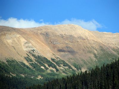
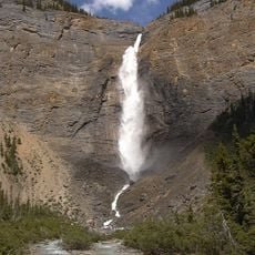
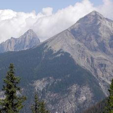
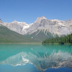
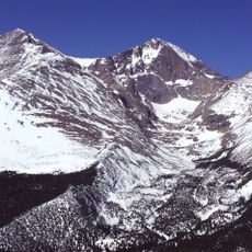
The Burgess Shale is a paleontological site in Yoho National Park within the Canadian Rockies that preserves marine life from the Middle Cambrian epoch. The rock layers sit on the slopes of mountain peaks such as Wapta Mountain and extend across several outcrops at high elevation.

History

Charles Walcott came across the fossil layers in 1909 during an expedition and returned regularly in the following years to extract tens of thousands of specimens. Later excavation campaigns starting in the 1960s brought new interpretations about the development of early animal forms.

Culture

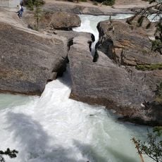
The name comes from the nearby Burgess Pass and refers to the dark layers of rock on the mountain slope. Hikers today walk through guided routes across rock horizons that formed on the seabed of a tropical ocean.

Practical

Access is only possible on a guided hike that takes several hours and follows narrow paths through steep terrain. Because of the high elevation and weather shifts, visitors should bring warm clothing and plenty of water.

Did you know?

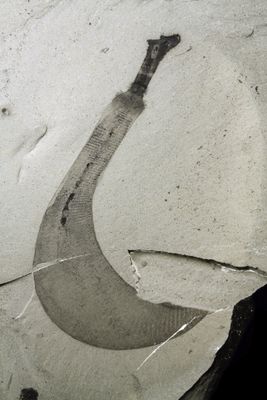
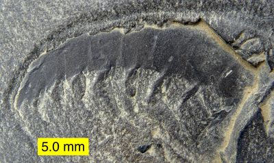
The specimens show soft parts like gut tracts and gills that are usually absent in fossils because they normally decay quickly. Some animals possess body plans that cannot be placed into any living animal group.

Made from material
shale
GPS coordinates
51.43330,-116.46700
Latest update
December 12, 2025 17:50

AroundUs brings together thousands of curated places, local tips, and hidden gems, enriched daily by 60,000 contributors worldwide. Discover all places nearby (Columbia-Shuswap Regional District).

Natural areas in British Columbia

British Columbia stretches from the Pacific coast to the Rocky Mountains, offering geological diversity and varied ecosystems. The region includes geothermal springs such as Liard River Hot Springs and Keyhole Hot Springs, ancient coastal forests at Cathedral Grove and Carmanah Walbran, and tide...

« Burgess Shale - Paleontological site in Yoho National Park, Canada » is provided by Around Us (aroundus.com). Images and texts are derived from Wikimedia project under a Creative Commons license. You are allowed to copy, distribute, and modify copies of this page, under the conditions set by the license, as long as this note is clearly visible.

Discover hidden gems everywhere you go!

From secret cafés to breathtaking viewpoints, skip the crowded tourist spots and find places that match your style. Our app makes it easy with voice search, smart filtering, route optimization, and insider tips from travelers worldwide. Download now for the complete mobile experience.

Around Us App Screenshot

A unique approach to discovering new places

Le Figaro

All the places worth exploring

France Info

A tailor-made excursion in just a few clicks

20 Minutes

Around Us
Travel Guide & Maps
Download

Send to your phone

QR Code
1

Open the camera app on your mobile.

2

Point at the QR code with your camera. A notification will appear.

3

Tap the notification to open the link.