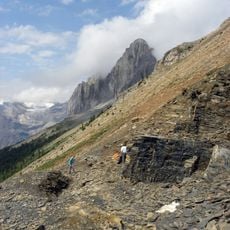
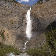
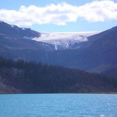
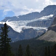
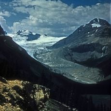
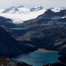
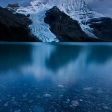
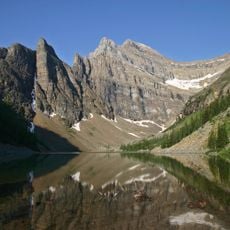
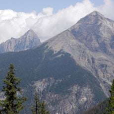
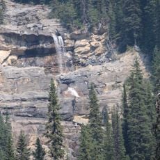
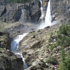
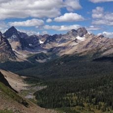
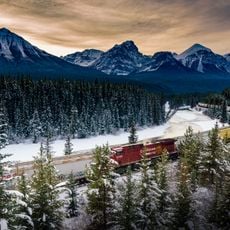
Hector Glacier, Glacier in Banff National Park, Canada.
Hector Glacier begins near the summit of Mount Hector at about 3,350 m and flows roughly 3 km north to about 2,430 m, on the mountain's north slope in Banff National Park, Alberta. It lies at 51°35′07″N, 116°15′05″W. The glacier is fed by snow on the peak's north face and ends above the valley of Molar Creek, a tributary of the Pipestone River.
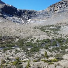
Hector Glacier lies on the north slope of Mount Hector, which at 3,390 m feeds the ice that once reached farther down the valley. By the early 1900s the glacier extended about 3 km beyond its later terminus and filled the valley with ice up to 60 m thick. In late summer 1938 a large mass broke off into the valley of Molar Creek, a tributary of the Pipestone River, tearing out trees along its path; an elderly local told climbers in 1939 that no such collapse had occurred in forty years. In the 1960s many crevasses opened and the ice split into several blocks.
The glacier takes its name from James Hector, a naturalist who explored and documented the Canadian Rocky Mountains during the Palliser expedition. His name reflects the scientific study of this region during the 1800s.
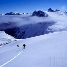
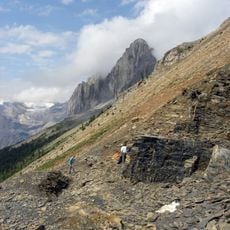
The glacier sits on the north slope of Mount Hector, its tongue running about 3 km north from roughly 3,350 m down to near 2,430 m as measured in 2002. It lies within Banff National Park, and the ice is reached on foot from the Hector Lake area; the surrounding terrain is steep and crevassed, so travel on the ice calls for glacier equipment and a guide.
In 1938, a major section broke free and moved downslope like a slow-motion avalanche, burying the valley in ice. This event demonstrates how these massive ice formations can shift unexpectedly and reshape the landscape.
The community of curious travelers
AroundUs brings together thousands of curated places, local tips, and hidden gems, enriched daily by 94,013 contributors worldwide.