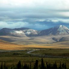
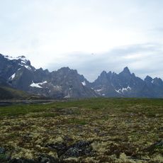
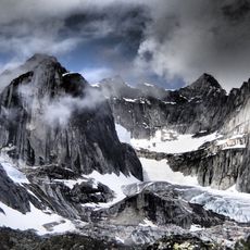
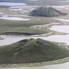
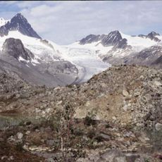
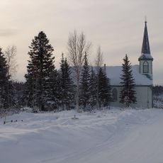
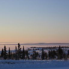
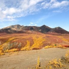
The Ramparts, Rapids and summit system in Northwest Territories and Alberta, Canada
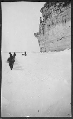
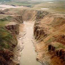
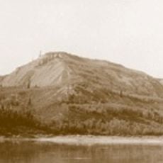
The Ramparts is a narrow canyon section along the Mackenzie River where limestone cliffs rise sharply from the water. The rapids here are defined by their distinctive rocky formations and powerful water movement through the confined passage.
Early explorers documented that ancient peoples traveled to this river section to gather flint for tool-making purposes. This activity shows how the area served as an important resource location for tool-making cultures.
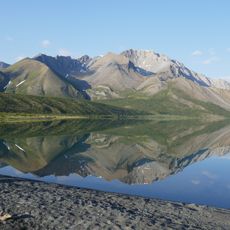
The peaks in this area carry names reflecting military fortification terms such as Bastion and Redoubt, echoing how early explorers saw the dramatic landscape. Visitors notice these distinctive names while exploring the region.
When navigating through this section, boats should stay along the western side of the river to pass more safely. This route choice helps reduce exposure to the most dangerous water conditions in this narrow passage.
The river narrows dramatically at this location from several kilometers wide to roughly 100 meters, creating extremely turbulent conditions. This sudden constriction makes this section hydraulically one of the most intense on the river.
The community of curious travelers
AroundUs brings together thousands of curated places, local tips, and hidden gems, enriched daily by 60,000 contributors worldwide.