Nááts'įhch'oh National Park Reserve, National park reserve in Sahtu Region, Canada.
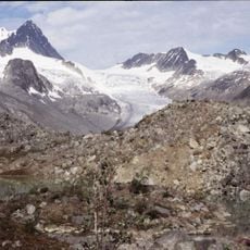
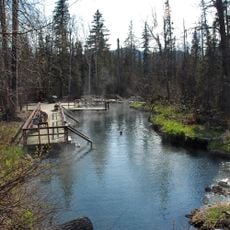
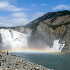
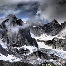
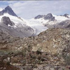
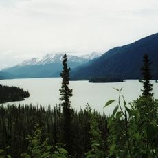
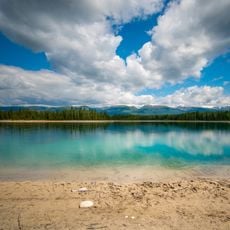
Nááts'įhch'oh is a national park reserve protecting the upper South Nahanni River watershed in the Northwest Territories, featuring mountainous terrain with deep valleys and alpine peaks. The landscape includes dense forests, steep canyon walls, and pristine river systems that flow through dramatic geological formations.
Canada announced the intention to create the reserve on April 7, 2008, after withdrawing about 7,600 km2 in 2003. Federal, Dene and Métis representatives signed an impact and benefit plan in March 2012, and Stephen Harper announced the boundaries that August. Legislation under the National Parks Act established the reserve on December 16, 2014, making it the eighth national park reserve.
The name comes from Nááts'ı̨hch'oh (Mount Wilson), a Slavey (Shúhtagot'ine) word meaning 'standing like a porcupine quill', after the peak's sharp, pointed top. The mountain is credited with great powers, and the whole region is of personal and cultural importance to the Shúhtaot'ine (Mountain Dene) of Tulita and Norman Wells, who have long travelled it for hunting and its natural resources.
No roads reach the reserve; access is by floatplane or helicopter from Tulita or Norman Wells. Paddlers put in at Nááts'įhch'oh Tué (Moose Ponds) to run the South Nahanni's rock garden, or take the easier Broken Skull River. There are no facilities or trails, so groups must be self-sufficient and arrange flights with bush operators in advance.
This park forms a connected conservation area with Nahanni National Park Reserve, together protecting 86 percent of the South Nahanni watershed. This combined protection creates one of North America's largest unfragmented wilderness areas.
The community of curious travelers
AroundUs brings together thousands of curated places, local tips, and hidden gems, enriched daily by 94,588 contributors worldwide.